UN/LOCODE hub · China
CNPNY

Shiqiao

22.9500°, 113.3667°
135,308
Population
1
Transport functions

Transport Functions

Port
UN/LOCODE

Hub Profile

Place type
District seat
GeoNames
Region
Guangdong
GeoNames
Population
135,308
GeoNames
Time zone
Asia/Shanghai
GeoNames
Elevation
11 m
GeoNames

Location

Location of CNPNY
Natural Earth 10m (public domain) · Guangdong · CNPNY · 22.95, 113.37GoogleOSMYandex

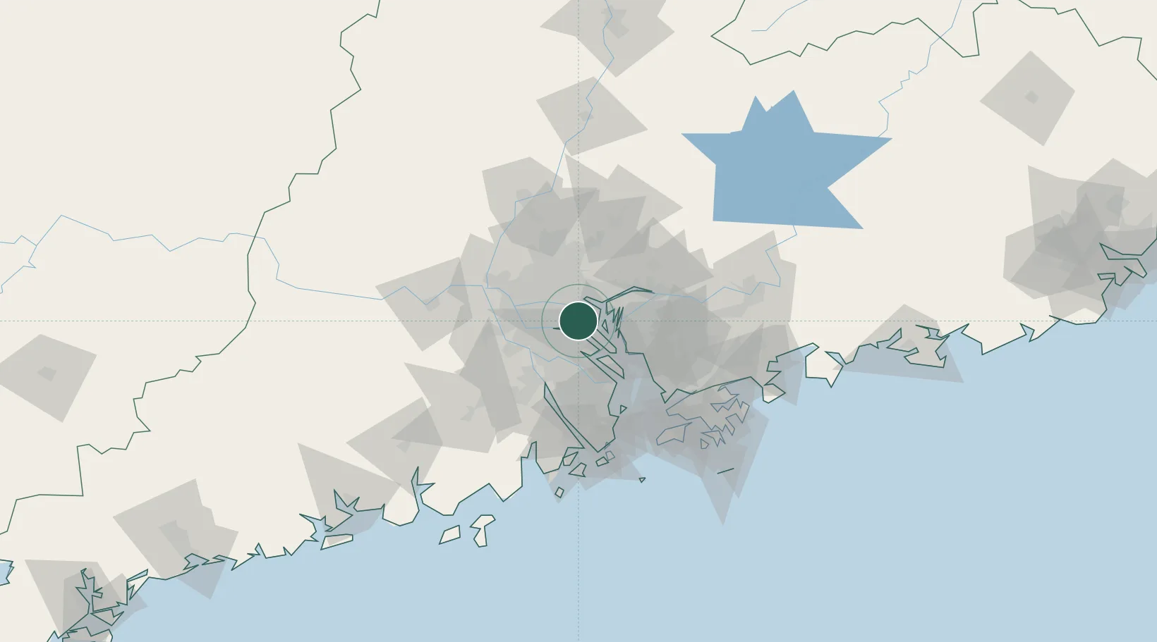
Nearby Logistics Neighbours

Cities
  1. 1Xinzao10 km
  2. 2Nanhai Pt12 km
  3. 3Shating13 km
  4. 4Chencun14 km
  5. 5Lianhuashan Pt15 km
Nearest neighbours — logibook spatial index (haversine) over the source coordinates
Ports
  1. 1Huangpu16 km
  2. 2Huangpuxingang18 km
  3. 3Guangzhou23 km
  4. 4Shekou74 km
  5. 5Zhuhai83 km
Nearest neighbours — logibook spatial index (haversine) over the source coordinates
Airports
  1. 1Foshan Shadi Airport34 km
  2. 2Guangzhou Baiyun International Airport50 km
  3. 3Shenzhen Bao'an International Airport57 km
  4. 4Hong Kong International Airport91 km
  5. 5Macau International Airport92 km
Nearest neighbours — logibook spatial index (haversine) over the source coordinates
Trade Zones
  1. 1Guangzhou Export Processing Zone25 km
  2. 2Shunde High-tech Industrial Development Zone26 km
  3. 3Yunpu Industrial Park29 km
  4. 4Foshan Chancheng Economic Development Zone35 km
  5. 5Guangzhou Nansha Export Processing Zone35 km
Nearest neighbours — logibook spatial index (haversine) over the source coordinates
DatabookThe Record of Consolidated Knowledge
China beyond logistics?
Browse databook

All Sources

LocationsUN/LOCODE
UN/LOCODE — free
LocationsGeoNames
CC BY 4.0
Portsthe NGA World Port Index
Public domain (US gov)
AirportsOurAirports
Public domain
Trade Zonesthe World Bank SEZ database
CC BY 4.0
Trade ZonesOpen Zone Map
CC BY
← China locations