UN/LOCODE hub · China
CNXZO

Xinzao

23.0333°, 113.4000°
2
Transport functions

Transport Functions

Road
Multimodal
UN/LOCODE

Hub Profile

Place type
Local administrative seat
GeoNames
Region
Guangdong
GeoNames
Time zone
Asia/Shanghai
GeoNames
Elevation
11 m
GeoNames

Location

Location of CNXZO
Natural Earth 10m (public domain) · Guangdong · CNXZO · 23.03, 113.40GoogleOSMYandex

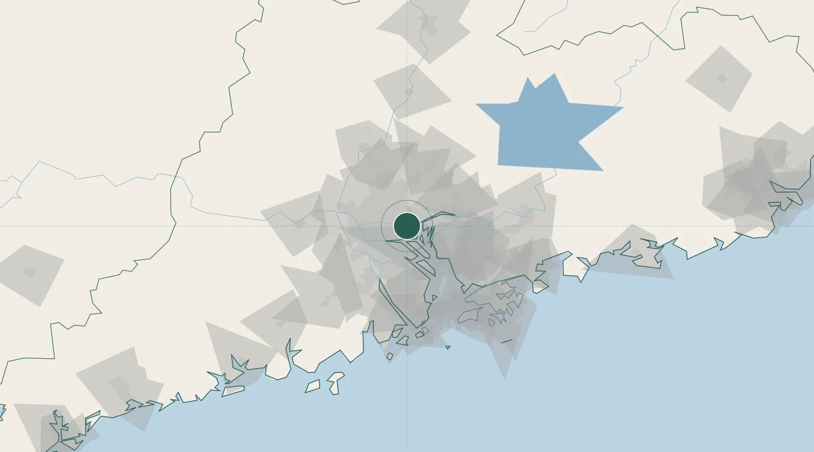
Nearby Logistics Neighbours

Cities
  1. 1Shating4 km
  2. 2Wu Chong Kou6 km
  3. 3Xiaohudao7 km
  4. 4Neigang8 km
  5. 5Yuzhu8 km
Nearest neighbours — logibook spatial index (haversine) over the source coordinates
Ports
  1. 1Huangpu6 km
  2. 2Huangpuxingang10 km
  3. 3Guangzhou19 km
  4. 4Shekou79 km
  5. 5Zhuhai91 km
Nearest neighbours — logibook spatial index (haversine) over the source coordinates
Airports
  1. 1Foshan Shadi Airport34 km
  2. 2Guangzhou Baiyun International Airport41 km
  3. 3Shenzhen Bao'an International Airport60 km
  4. 4Hong Kong International Airport96 km
  5. 5Shek Kong Air Base96 km
Nearest neighbours — logibook spatial index (haversine) over the source coordinates
Trade Zones
  1. 1Guangzhou Export Processing Zone16 km
  2. 2Yunpu Industrial Park19 km
  3. 3Longhu Industrial Park31 km
  4. 4Baiyun Industrial Park32 km
  5. 5Shunde High-tech Industrial Development Zone36 km
Nearest neighbours — logibook spatial index (haversine) over the source coordinates
DatabookThe Record of Consolidated Knowledge
China beyond logistics?
Browse databook

All Sources

LocationsUN/LOCODE
UN/LOCODE — free
Portsthe NGA World Port Index
Public domain (US gov)
AirportsOurAirports
Public domain
Trade Zonesthe World Bank SEZ database
CC BY 4.0
Trade ZonesOpen Zone Map
CC BY
← China locations