UN/LOCODE hub · China
CNLIH

Lianhuashan Pt

22.9681°, 113.5074°
1
Transport functions

Transport Functions

Port
UN/LOCODE

Hub Profile

Region
GD
GeoNames
Logistics facilities
4
UN/LOCODE

Location

Location of CNLIH
Natural Earth 10m (public domain) · GD · CNLIH · 22.97, 113.51GoogleOSMYandex

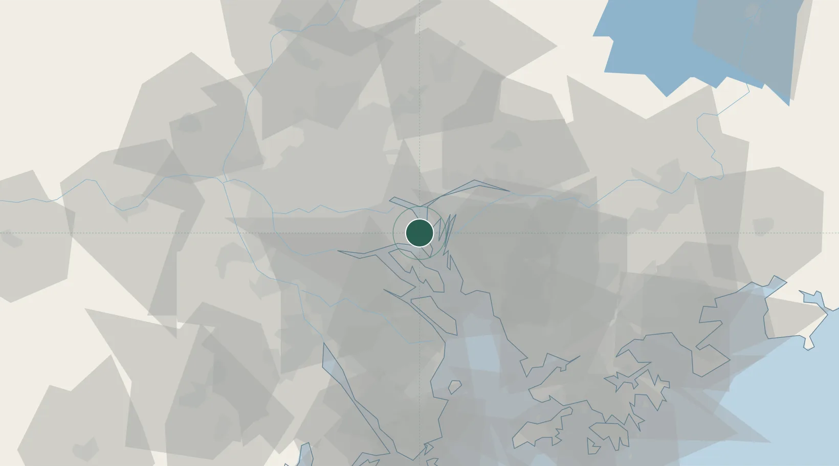
Nearby Logistics Neighbours

Cities
  1. 1Xinsha3 km
  2. 2Shilou6 km
  3. 3Huangpu Pt6 km
  4. 4Shatian11 km
  5. 5Shating12 km
Nearest neighbours — logibook spatial index (haversine) over the source coordinates
Ports
  1. 1Huangpuxingang9 km
  2. 2Huangpu16 km
  3. 3Guangzhou33 km
  4. 4Shekou67 km
  5. 5Zhuhai82 km
Nearest neighbours — logibook spatial index (haversine) over the source coordinates
Airports
  1. 1Foshan Shadi Airport47 km
  2. 2Shenzhen Bao'an International Airport48 km
  3. 3Guangzhou Baiyun International Airport52 km
  4. 4Shek Kong Air Base83 km
  5. 5Hong Kong International Airport84 km
Nearest neighbours — logibook spatial index (haversine) over the source coordinates
Trade Zones
  1. 1Guangzhou Export Processing Zone16 km
  2. 2Yunpu Industrial Park21 km
  3. 3Guangzhou Nansha Export Processing Zone31 km
  4. 4Shunde High-tech Industrial Development Zone38 km
  5. 5Dongguan Water Town Development Zone40 km
Nearest neighbours — logibook spatial index (haversine) over the source coordinates
DatabookThe Record of Consolidated Knowledge
China beyond logistics?
Browse databook

All Sources

LocationsUN/LOCODE
UN/LOCODE — free
Portsthe NGA World Port Index
Public domain (US gov)
AirportsOurAirports
Public domain
Trade Zonesthe World Bank SEZ database
CC BY 4.0
Trade ZonesOpen Zone Map
CC BY
← China locations