UN/LOCODE hub · China
CNNAH

Nanhai Pt

22.8708°, 113.4475°
1
Transport functions

Transport Functions

Port
UN/LOCODE

Hub Profile

Region
GD
GeoNames
Logistics facilities
8
UN/LOCODE

Location

Location of CNNAH
Natural Earth 10m (public domain) · GD · CNNAH · 22.87, 113.45GoogleOSMYandex

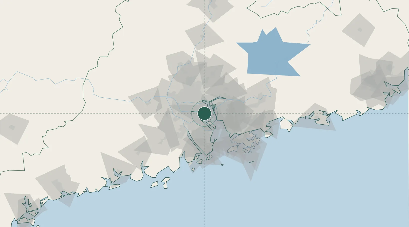
Nearby Logistics Neighbours

Cities
  1. 1Shiqiao12 km
  2. 2Lianhuashan Pt12 km
  3. 3Shatian15 km
  4. 4Xinsha15 km
  5. 5Shilou17 km
Nearest neighbours — logibook spatial index (haversine) over the source coordinates
Ports
  1. 1Huangpuxingang21 km
  2. 2Huangpu24 km
  3. 3Guangzhou35 km
  4. 4Shekou62 km
  5. 5Zhuhai72 km
Nearest neighbours — logibook spatial index (haversine) over the source coordinates
Airports
  1. 1Shenzhen Bao'an International Airport45 km
  2. 2Foshan Shadi Airport45 km
  3. 3Guangzhou Baiyun International Airport60 km
  4. 4Hong Kong International Airport79 km
  5. 5Shek Kong Air Base81 km
Nearest neighbours — logibook spatial index (haversine) over the source coordinates
Trade Zones
  1. 1Guangzhou Nansha Export Processing Zone23 km
  2. 2Shunde High-tech Industrial Development Zone26 km
  3. 3Guangzhou Export Processing Zone28 km
  4. 4Yunpu Industrial Park33 km
  5. 5Zhongshan Industrial Park34 km
Nearest neighbours — logibook spatial index (haversine) over the source coordinates
DatabookThe Record of Consolidated Knowledge
China beyond logistics?
Browse databook

All Sources

LocationsUN/LOCODE
UN/LOCODE — free
Portsthe NGA World Port Index
Public domain (US gov)
AirportsOurAirports
Public domain
Trade Zonesthe World Bank SEZ database
CC BY 4.0
Trade ZonesOpen Zone Map
CC BY
← China locations