Large airport · Hong Kong SAR China
Hong Kong International AirportVHHH
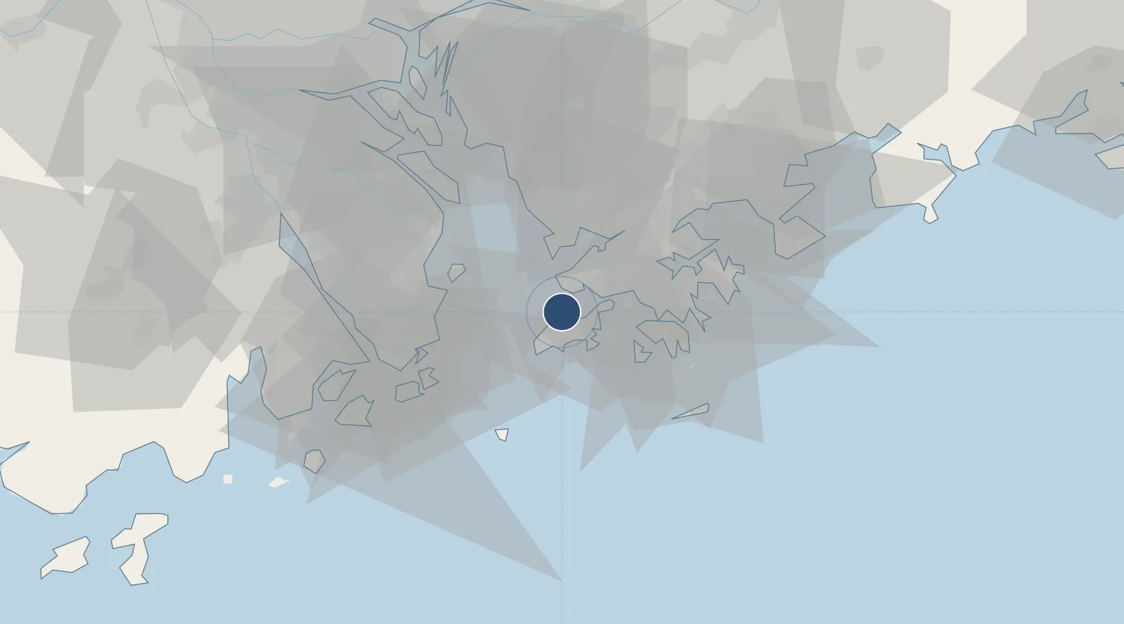
22.3118°, 113.9149°
12,467 ft
Longest runway
3
Runways
28 ft
Elevation
Runway & Layout

Radio Frequencies
TWR
118.2 MHz
Tower North
TWR
118.4 MHz
TWR South
GND
121.6 MHz
GND North
GND
122.55 MHz
GND South
CLD
129.9 MHz
CLNC DEL
APP
119.1 MHz
APP
119.5 MHz
Director
DEP
123.8 MHz
AFIS
122.4 MHz
FLIGHT SERVICE
ATIS-A
128.2 MHz
Arrivel
ATIS-D
127.05 MHz
Departure
CAC
120.6 MHz
ZONE CON
EMG
121.5 MHz
Hong Kong Guard
RDR
121.3 MHz
Radar
RDR
133.7 MHz
PRECISION
Navaids
CH VOR-DME Cheung Chau 112.30 MHz
HKG NDB Cape D Aguilar 338 kHz
LC NDB Lam Chau 390 kHz
LKC VOR-DME Lung Kwu Chau 113.20 MHz
SMT VOR-DME Siu Mo To 114.80 MHz
TH VOR-DME Tathong Point 115.50 MHz
Runways · 3
| Runway | Dimensions | Surface | True heading | Lit |
|---|---|---|---|---|
| 07C/25C | 12,467 × 197ft | Asphalt | 071° | ✓ |
| 07L/25R | 12,467 × 197ft | ASPH | 074° | ✓ |
| 07R/25L | 12,467 × 197ft | Asphalt | 071° | ✓ |
Airport Specifications
IATA code
HKG
ICAO code
VHHH
Airport class
Large airport
Scheduled service
Yes
Runway surface
Asphalt
Served city
Hong Kong
Location
Nearby Logistics Neighbours
Airports
- 1Shek Kong Air Base22 km
- 2Shun Tak Heliport25 km
- 3Macau International Airport38 km
- 4Shenzhen Bao'an International Airport38 km
- 5Zhuhai Jinwan Airport65 km
Cities
- 1Mawan Pt14 km
- 2Hong Kong15 km
- 3Shenzhen Pt19 km
- 4Chiwan Pt19 km
- 5Shekou Pt20 km
Trade Zones
DatabookThe Record of Consolidated Knowledge
Hong Kong SAR China beyond logistics?