UN/LOCODE hub · China
CNCUN

Chencun

22.9500°, 113.2333°
2
Transport functions

Transport Functions

Port
Road
UN/LOCODE

Hub Profile

Place type
Local administrative seat
GeoNames
Region
Guangdong
GeoNames
Time zone
Asia/Shanghai
GeoNames
Elevation
6 m
GeoNames

Location

Location of CNCUN
Natural Earth 10m (public domain) · Guangdong · CNCUN · 22.95, 113.23GoogleOSMYandex

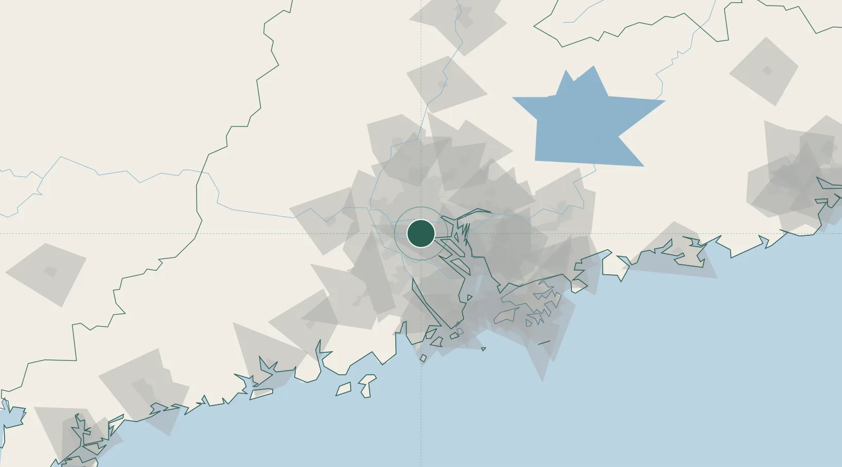
Nearby Logistics Neighbours

Cities
  1. 1Beijiao5 km
  2. 2Foshan New Pt6 km
  3. 3Pingzhou10 km
  4. 4Sanshui12 km
  5. 5Shiqiao14 km
Nearest neighbours — logibook spatial index (haversine) over the source coordinates
Ports
  1. 1Guangzhou19 km
  2. 2Huangpu24 km
  3. 3Huangpuxingang30 km
  4. 4Shekou84 km
  5. 5Zhuhai87 km
Nearest neighbours — logibook spatial index (haversine) over the source coordinates
Airports
  1. 1Foshan Shadi Airport22 km
  2. 2Guangzhou Baiyun International Airport50 km
  3. 3Shenzhen Bao'an International Airport68 km
  4. 4Macau International Airport96 km
  5. 5Hong Kong International Airport100 km
Nearest neighbours — logibook spatial index (haversine) over the source coordinates
Trade Zones
  1. 1Shunde High-tech Industrial Development Zone22 km
  2. 2Foshan Chancheng Economic Development Zone22 km
  3. 3Fushan Industrial Park30 km
  4. 4Nanhai High-tech Industrial Development Zone30 km
  5. 5Nanhai Economic Development Zone34 km
Nearest neighbours — logibook spatial index (haversine) over the source coordinates
DatabookThe Record of Consolidated Knowledge
China beyond logistics?
Browse databook

All Sources

LocationsUN/LOCODE
UN/LOCODE — free
Portsthe NGA World Port Index
Public domain (US gov)
AirportsOurAirports
Public domain
Trade Zonesthe World Bank SEZ database
CC BY 4.0
Trade ZonesOpen Zone Map
CC BY
← China locations