Transport Functions
Port
Road
Multimodal
Hub Profile
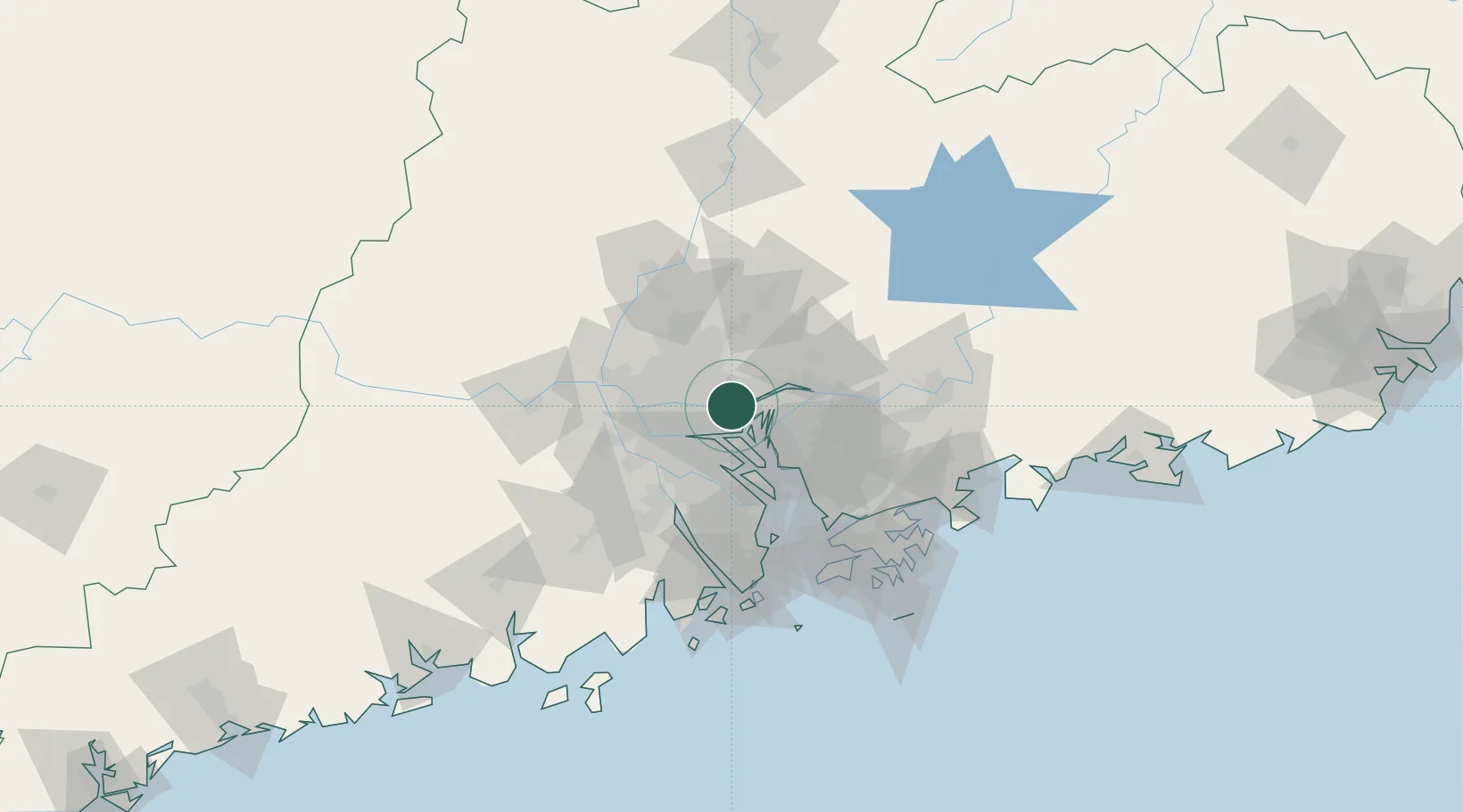
Place type
Populated place
Region
Guangdong
Time zone
Asia/Shanghai
Elevation
11 m
Location
Nearby Logistics Neighbours
Cities
- 1Xiaohudao4 km
- 2Xinzao4 km
- 3Wu Chong Kou4 km
- 4Neigang6 km
- 5Yuzhu6 km
Ports
- 1Huangpu4 km
- 2Huangpuxingang7 km
- 3Guangzhou22 km
- 4Shekou79 km
- 5Zhuhai92 km
Airports
Trade Zones
DatabookThe Record of Consolidated Knowledge
China beyond logistics?