Export Processing Zone · China

Guangzhou Nansha Export Processing Zone
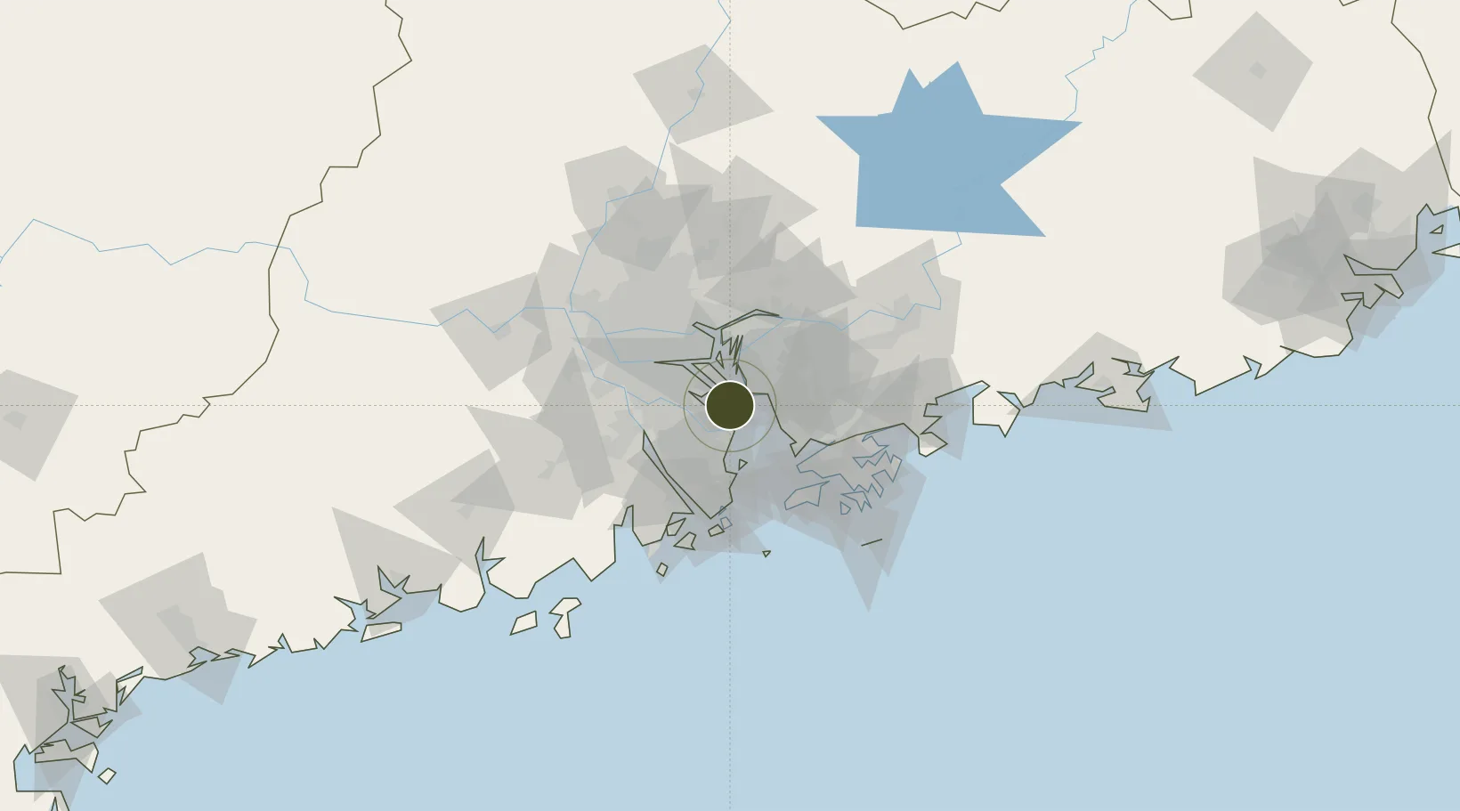
22.6980°, 113.5770°
136 ha
Zone area
39.3 km
Nearest port
24.1 km
Nearest airport

Gateway access

Nearest neighbours — logibook spatial index (haversine) over the source coordinates

Zone profile

Zone type
Export Processing Zone
the World Bank SEZ database
Region
Guangdong
the World Bank SEZ database
Established
2007
the World Bank SEZ database
Management
Public agency
the World Bank SEZ database
Operator
Administrative Committee of Guangdong Nansha Export Processing Zone
the World Bank SEZ database
Regulatory authority
Administrative Commission
the World Bank SEZ database
Legal framework
State or Provincial Council Decree
the World Bank SEZ database

Location

Location of CHN12
Natural Earth 10m (public domain) · Guangdong · CHN12 · 22.70, 113.58GoogleOSMYandex

Fiscal & incentives

Corporate tax
25%
the World Bank SEZ database
Tax relief
Reduced fixed-rate at 15% for high-tech enterprises
the World Bank SEZ database
Relief duration
Perpetual
the World Bank SEZ database
VAT
100% exempt on VAT on inputs and capex; reduced fixed-rate VAT at 13% for agricultural-related activities
the World Bank SEZ database
Import duty (inputs)
100% exempt
the World Bank SEZ database
Import duty (capex)
100% exempt
the World Bank SEZ database
Profit repatriation
No exemption
the World Bank SEZ database
Capital gains
No exemption
the World Bank SEZ database
Withholding tax
No exemption
the World Bank SEZ database
Min. investment
None
the World Bank SEZ database
Min. export
100%
the World Bank SEZ database
Employment incentive
No exemption
the World Bank SEZ database
Developer incentive
Under review
the World Bank SEZ database

Nearby Logistics Neighbours

Ports
  1. 1Shekou39 km
  2. 2Huangpuxingang40 km
  3. 3Huangpu46 km
  4. 4Zhuhai52 km
  5. 5Macau57 km
Nearest neighbours — logibook spatial index (haversine) over the source coordinates
Airports
  1. 1Shenzhen Bao'an International Airport24 km
  2. 2Hong Kong International Airport55 km
  3. 3Shek Kong Air Base59 km
  4. 4Macau International Airport61 km
  5. 5Foshan Shadi Airport67 km
Nearest neighbours — logibook spatial index (haversine) over the source coordinates
Cities
  1. 1Guangzhou8 km
  2. 2Nansha Pt9 km
  3. 3Jiujiang14 km
  4. 4Taiping15 km
  5. 5Gaoming Pt19 km
Nearest neighbours — logibook spatial index (haversine) over the source coordinates
Trade Zones
  1. 1Zhongshan Industrial Park18 km
  2. 2Zhongshan Industrial Park36 km
  3. 3Shunde High-tech Industrial Development Zone37 km
  4. 4Dongguan Water Town Development Zone41 km
  5. 5Yuehai Equipment Industrial Park41 km
Nearest neighbours — logibook spatial index (haversine) over the source coordinates
DatabookThe Record of Consolidated Knowledge
China beyond logistics?
Browse databook

All Sources

Trade Zonesthe World Bank SEZ database
CC BY 4.0
Portsthe NGA World Port Index
Public domain (US gov)
AirportsOurAirports
Public domain
LocationsUN/LOCODE
UN/LOCODE — free
← China trade zones