Diversified Zone · China

Yunpu Industrial Park Active
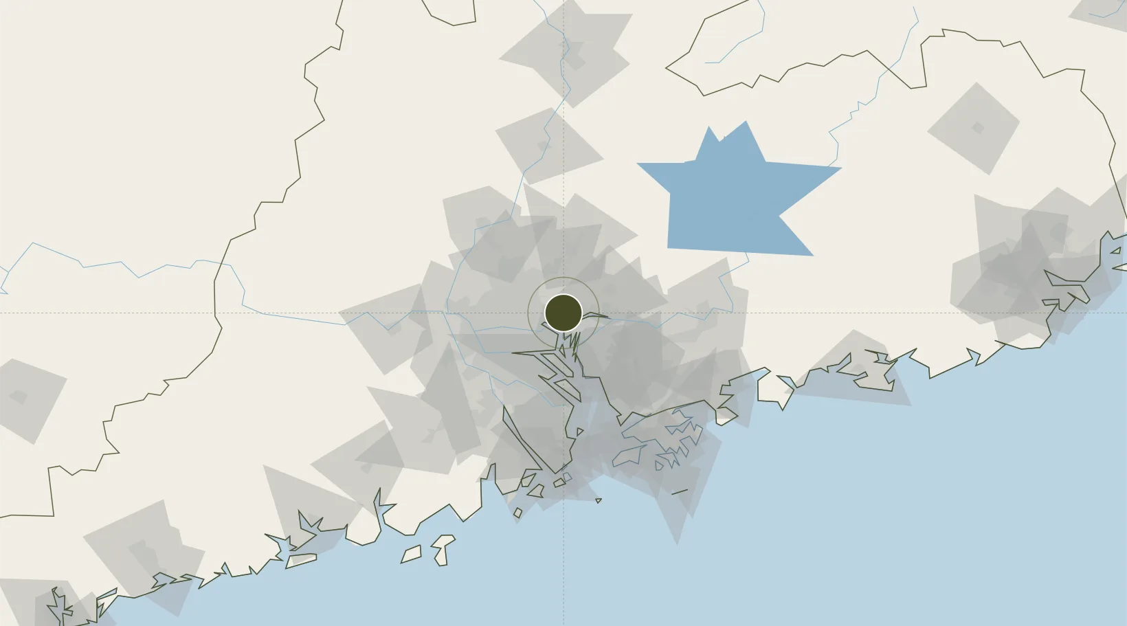
23.1538°, 113.5352°
467 ha
Zone area
12.1 km
Nearest port
35.9 km
Nearest airport

Gateway access

Nearest neighbours — logibook spatial index (haversine) over the source coordinates

Zone profile

Zone type
Diversified Zone
Open Zone Map
Region
Guangdong
Open Zone Map
Status
Active
Open Zone Map
Management
Public
Open Zone Map
Operator
Management Committee of Yunpu Industrial Park
Open Zone Map
Legal framework
It was founded in 1992
Open Zone Map

Location

Location of ozm-521
Natural Earth 10m (public domain) · Guangdong · ozm-521 · 23.15, 113.54GoogleOSMYandex

Nearby Logistics Neighbours

Ports
  1. 1Huangpuxingang12 km
  2. 2Huangpu14 km
  3. 3Guangzhou31 km
  4. 4Shekou84 km
  5. 5Yantian98 km
Nearest neighbours — logibook spatial index (haversine) over the source coordinates
Airports
  1. 1Guangzhou Baiyun International Airport36 km
  2. 2Foshan Shadi Airport48 km
  3. 3Shenzhen Bao'an International Airport63 km
  4. 4Shek Kong Air Base97 km
  5. 5Hong Kong International Airport101 km
Nearest neighbours — logibook spatial index (haversine) over the source coordinates
Cities
  1. 1Huangpu New Port9 km
  2. 2Xintang Pt9 km
  3. 3Xiaohudao13 km
  4. 4Neigang14 km
  5. 5Yuzhu14 km
Nearest neighbours — logibook spatial index (haversine) over the source coordinates
Trade Zones
  1. 1Guangzhou Export Processing Zone5 km
  2. 2Longhu Industrial Park33 km
  3. 3Baiyun Industrial Park35 km
  4. 4Dongguan Water Town Development Zone44 km
  5. 5Huadu Economic Development Zone46 km
Nearest neighbours — logibook spatial index (haversine) over the source coordinates
DatabookThe Record of Consolidated Knowledge
China beyond logistics?
Browse databook

All Sources

Trade ZonesOpen Zone Map
CC BY
Portsthe NGA World Port Index
Public domain (US gov)
AirportsOurAirports
Public domain
LocationsUN/LOCODE
UN/LOCODE — free
← China trade zones