Diversified Zone · China

Yangxin Economic Development Zone Active
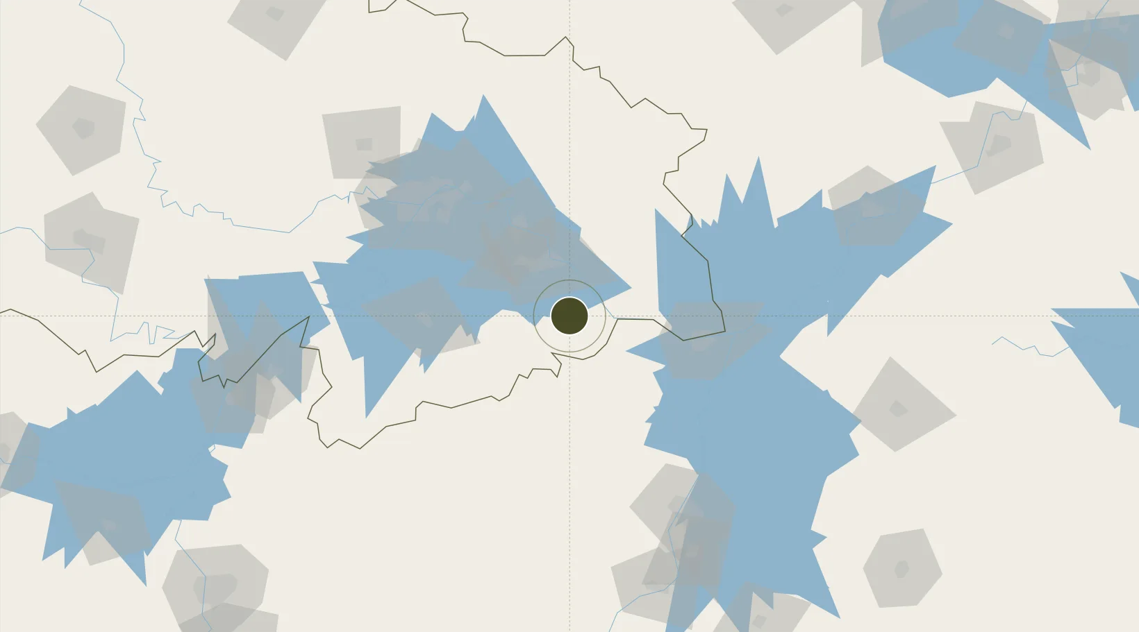
29.8830°, 115.1905°
6,081 ha
Zone area
116.9 km
Nearest port
53.0 km
Nearest airport

Gateway access

Nearest neighbours — logibook spatial index (haversine) over the source coordinates

Zone profile

Zone type
Diversified Zone
Open Zone Map
Region
Hubei
Open Zone Map
Status
Active
Open Zone Map
Management
Public
Open Zone Map
Operator
Management Committee of Yangxin Economic Development Zone
Open Zone Map
Legal framework
Established in 2002
Open Zone Map

Location

Location of ozm-958
Natural Earth 10m (public domain) · Hubei · ozm-958 · 29.88, 115.19GoogleOSMYandex

Nearby Logistics Neighbours

Ports
  1. 1Hankow117 km
  2. 2Nanjing418 km
  3. 3Zhenjiang480 km
  4. 4Yangzhou483 km
  5. 5Changzhou513 km
Nearest neighbours — logibook spatial index (haversine) over the source coordinates
Airports
  1. 1Ezhou Huahu International Airport53 km
  2. 2Jiujiang Lushan Airport74 km
  3. 3Shanpo Air Base88 km
  4. 4Paozhuwan Air Base103 km
  5. 5Wuhan Hannan Municipal Airport116 km
Nearest neighbours — logibook spatial index (haversine) over the source coordinates
Cities
  1. 1Huangshi Pt36 km
  2. 2Ezhou68 km
  3. 3Jiujiang76 km
  4. 4Wuhan117 km
  5. 5Hankou118 km
Nearest neighbours — logibook spatial index (haversine) over the source coordinates
Trade Zones
  1. 1Xisaishan Industrial Park37 km
  2. 2Qichun Lishizhen Pharmaceutical Industrial Park46 km
  3. 3Ruichang Industrial Zone53 km
  4. 4Wuning Industrial Park72 km
  5. 5Huangmei Economic Development Zone72 km
Nearest neighbours — logibook spatial index (haversine) over the source coordinates
DatabookThe Record of Consolidated Knowledge
China beyond logistics?
Browse databook

All Sources

Trade ZonesOpen Zone Map
CC BY
Portsthe NGA World Port Index
Public domain (US gov)
AirportsOurAirports
Public domain
LocationsUN/LOCODE
UN/LOCODE — free
← China trade zones