Small airport · China

Jiujiang Lushan AirportZSJJ
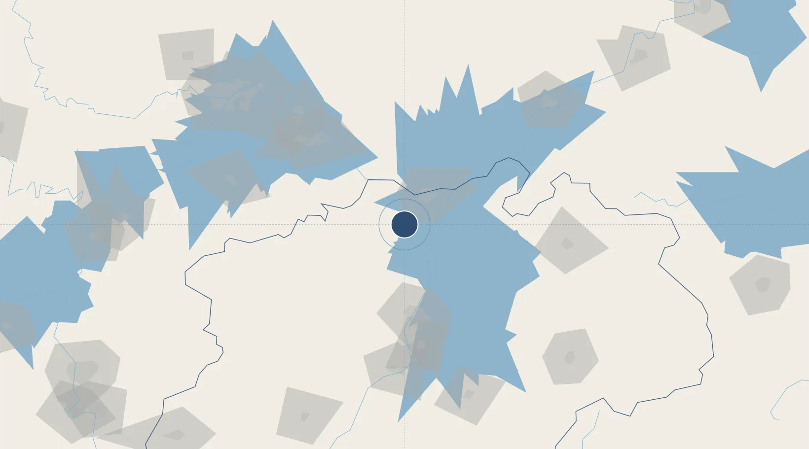
29.4769°, 115.8011°
9,186 ft
Longest runway
1
Runways

Runway & Layout

Jiujiang Lushan Airport runway & taxiway layout
Runway & taxiway layout — OpenStreetMap (ODbL) / OurAirports

Runways · 1

RunwayDimensions SurfaceTrue headingLit
04/22 9,186 × 165ft Concrete
OurAirports

Airport Specifications

IATA code
JIU
OurAirports
ICAO code
ZSJJ
OurAirports
Airport class
Small airport
OurAirports
Scheduled service
Yes
OurAirports
Runway surface
Concrete
OurAirports
Served city
Jiujiang
OurAirports

Location

Location of ZSJJ
Natural Earth 10m (public domain) · Jiangxi · ZSJJ · 29.48, 115.80GoogleOSMYandex

Nearby Logistics Neighbours

Airports
  1. 1Nanchang Changbei International Airport69 km
  2. 2Nanchang Xiangtang Air Base118 km
  3. 3Ezhou Huahu International Airport121 km
  4. 4Jingdezhen Luojia Airport134 km
  5. 5Shanpo Air Base159 km
Nearest neighbours — logibook spatial index (haversine) over the source coordinates
Cities
  1. 1Jiujiang31 km
  2. 2Huangshi Pt105 km
  3. 3Shipai124 km
  4. 4Jingdezhen139 km
  5. 5Ezhou140 km
Nearest neighbours — logibook spatial index (haversine) over the source coordinates
Ports
  1. 1Hankow191 km
  2. 2Nanjing404 km
  3. 3Zhenjiang462 km
  4. 4Yangzhou465 km
  5. 5Changzhou486 km
Nearest neighbours — logibook spatial index (haversine) over the source coordinates
Trade Zones
  1. 1Shacheng Industrial Park18 km
  2. 2Dean Industrial Park (Zone)18 km
  3. 3Jiujiang Export Processing Zone19 km
  4. 4Lushan Industrial Park24 km
  5. 5Gongqing Economic Devleopment Zone25 km
Nearest neighbours — logibook spatial index (haversine) over the source coordinates
DatabookThe Record of Consolidated Knowledge
China beyond logistics?
Browse databook

All Sources

AirportsOurAirports
Public domain
Portsthe NGA World Port Index
Public domain (US gov)
LocationsUN/LOCODE
UN/LOCODE — free
Trade Zonesthe World Bank SEZ database
CC BY 4.0
Trade ZonesOpen Zone Map
CC BY
InfrastructureOpenStreetMap
ODbL 1.0
← China airports