Transport Functions
Rail
Road
Hub Profile
Place type
District seat
Region
Heilongjiang
Population
107,621
Time zone
Asia/Shanghai
Elevation
209 m
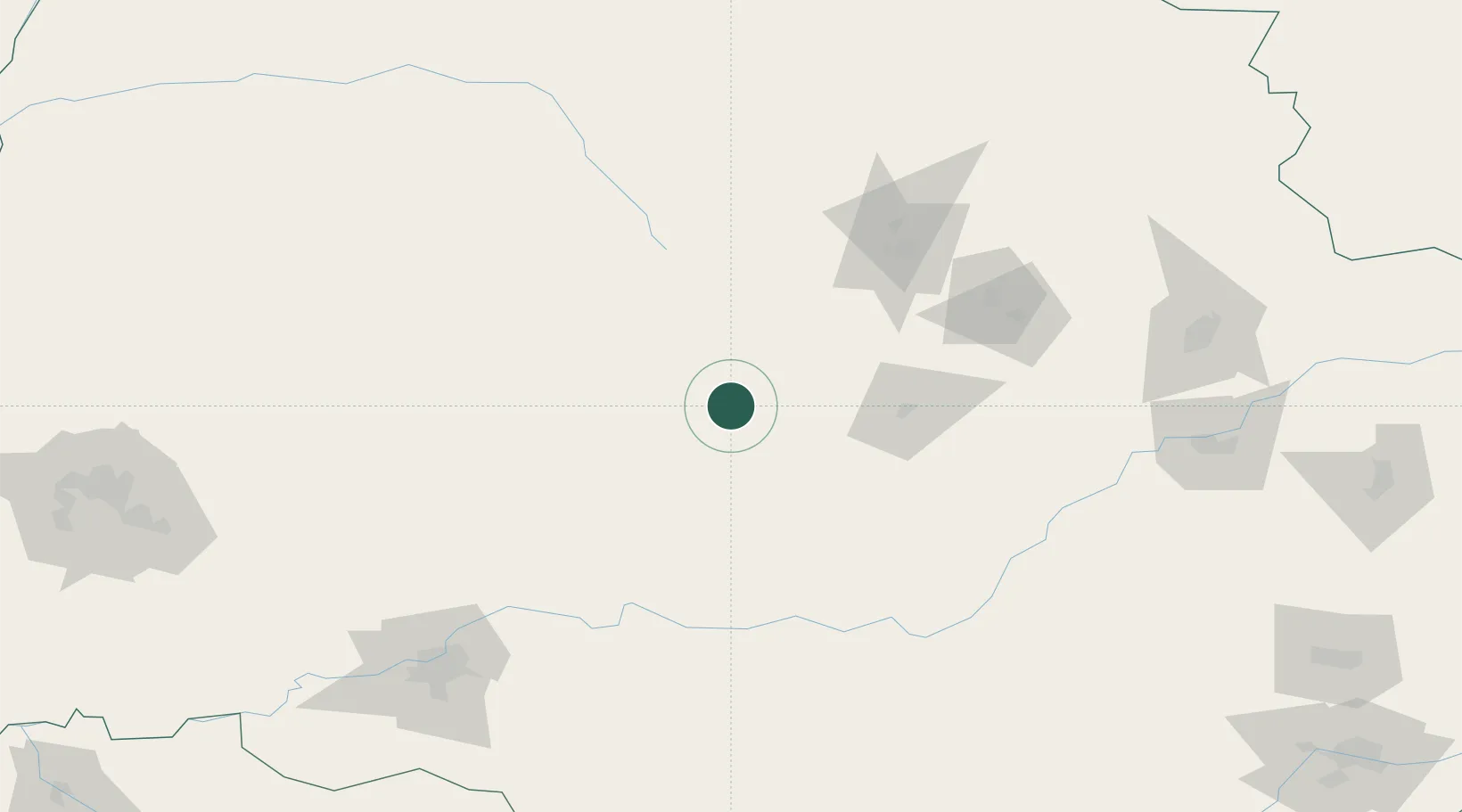
Location
Nearby Logistics Neighbours
Cities
- 1Bayan112 km
- 2Harbin178 km
- 3Huachuan201 km
- 4Luobei219 km
- 5Shuangcheng227 km
Ports
- 1Vladivostok526 km
- 2Slavyanka528 km
- 3Pos'yet528 km
- 4Zarubino540 km
- 5Najin557 km
Airports
- 1Yichun Lindu Airport112 km
- 2Jiamusi Songjiang International Airport184 km
- 3Harbin Taiping International Airport205 km
- 4Lalin Air Base211 km
- 5Wudalianchi Dedu Airport217 km
Trade Zones
DatabookThe Record of Consolidated Knowledge
China beyond logistics?