Transport Functions
Rail
Hub Profile
Place type
Local administrative seat
Region
Guangdong
Time zone
Asia/Shanghai
Elevation
12 m
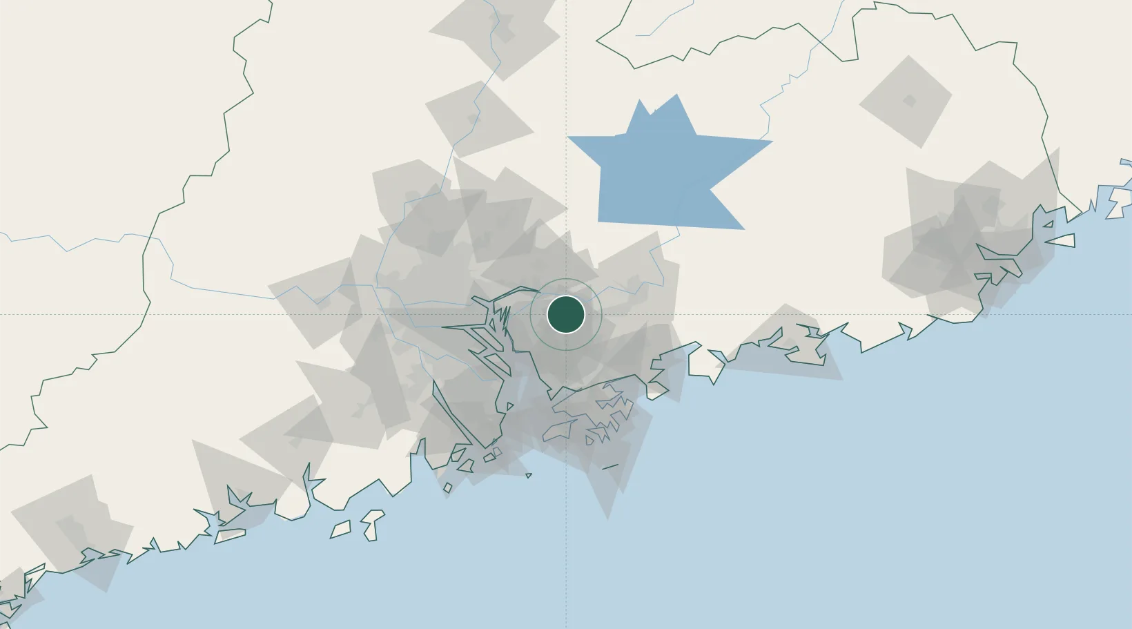
Location
Nearby Logistics Neighbours
Cities
- 1Gongming25 km
- 2Dongguan28 km
- 3Honghai Pt35 km
- 4Boluo35 km
- 5Zhongtang36 km
Ports
- 1Huangpuxingang50 km
- 2Yantian53 km
- 3Shekou59 km
- 4Huangpu59 km
- 5Huizhou62 km
Airports
Trade Zones
DatabookThe Record of Consolidated Knowledge
China beyond logistics?