UN/LOCODE hub · China
CNHUI
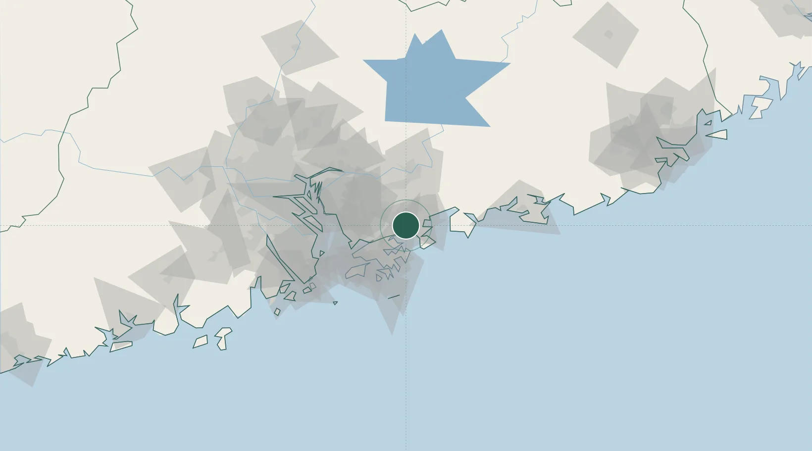
Huizhou
22.6563°, 114.3616°
2,900,113
Population
3
Transport functions
1
Container terminals
Transport Functions
Port
Rail
Road
Hub Profile
Place type
Provincial seat
Region
Guangdong
Population
2,900,113
Time zone
Asia/Shanghai
Elevation
25 m
Logistics facilities
11
Container terminals
1
Location
Nearby Logistics Neighbours
Cities
- 1Guangdong Terminal12 km
- 2Yantian14 km
- 3Dapeng16 km
- 4Shenzhen17 km
- 5Dayawan31 km
Airports
Trade Zones
DatabookThe Record of Consolidated Knowledge
China beyond logistics?