UN/LOCODE hub · Chile
CLPAG
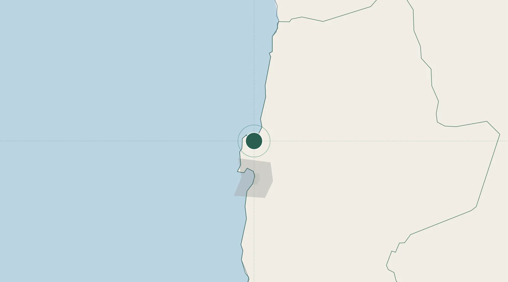
Puerto Angamos
-23.0943°, -70.4017°
3
Transport functions
1
Container terminals
Transport Functions
Port
Rail
Road
Hub Profile
Region
AN
Logistics facilities
3
Container terminals
1
Location
Nearby Logistics Neighbours
Cities
- 1Mejillones5 km
- 2Michilla43 km
- 3Antofagasta65 km
- 4Caleta Coloso73 km
- 5Pedro de Valdivia93 km
Ports
- 1Mejillones7 km
- 2Antofagasta62 km
- 3Tocopilla114 km
- 4Taltal257 km
- 5Caleta Patillos263 km
Airports
- 1Andrés Sabella Gálvez International Airport39 km
- 2Barriles Airport112 km
- 3El Loa Airport167 km
- 4Las Breas Airport275 km
- 5Diego Aracena International Airport285 km
Trade Zones
DatabookThe Record of Consolidated Knowledge
Chile beyond logistics?