UN/LOCODE hub · Chile
CLANF
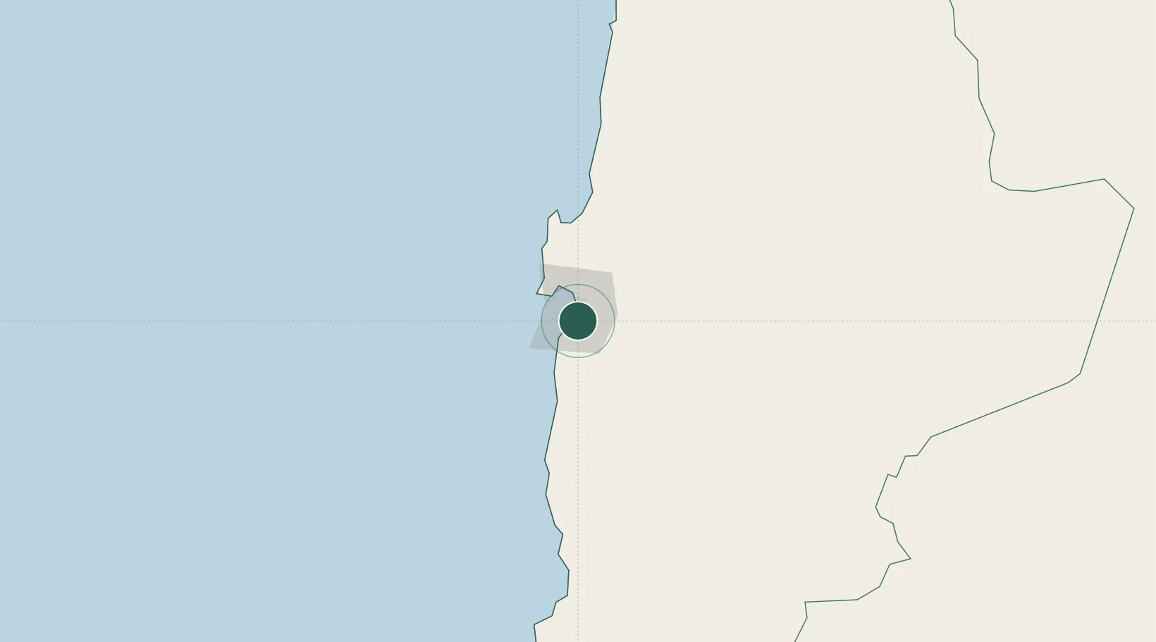
Antofagasta
-23.6823°, -70.3809°
401,096
Population
2
Transport functions
2
Container terminals
Transport Functions
Port
Airport
Hub Profile
Place type
Regional capital
Region
Antofagasta
Population
401,096
Time zone
America/Santiago
Elevation
276 m
Logistics facilities
4
Container terminals
2
Location
Nearby Logistics Neighbours
Cities
- 1Caleta Coloso12 km
- 2Mejillones65 km
- 3Puerto Angamos65 km
- 4Michilla106 km
- 5Los Vientos128 km
Ports
- 1Mejillones65 km
- 2Tocopilla178 km
- 3Taltal191 km
- 4Puerto Chanaral298 km
- 5Caleta Patillos328 km
Airports
- 1Andrés Sabella Gálvez International Airport27 km
- 2Barriles Airport174 km
- 3El Loa Airport200 km
- 4Las Breas Airport209 km
- 5Chañaral Airport296 km
Trade Zones
DatabookThe Record of Consolidated Knowledge
Chile beyond logistics?