Medium airport · Chile
El Loa AirportSCCF
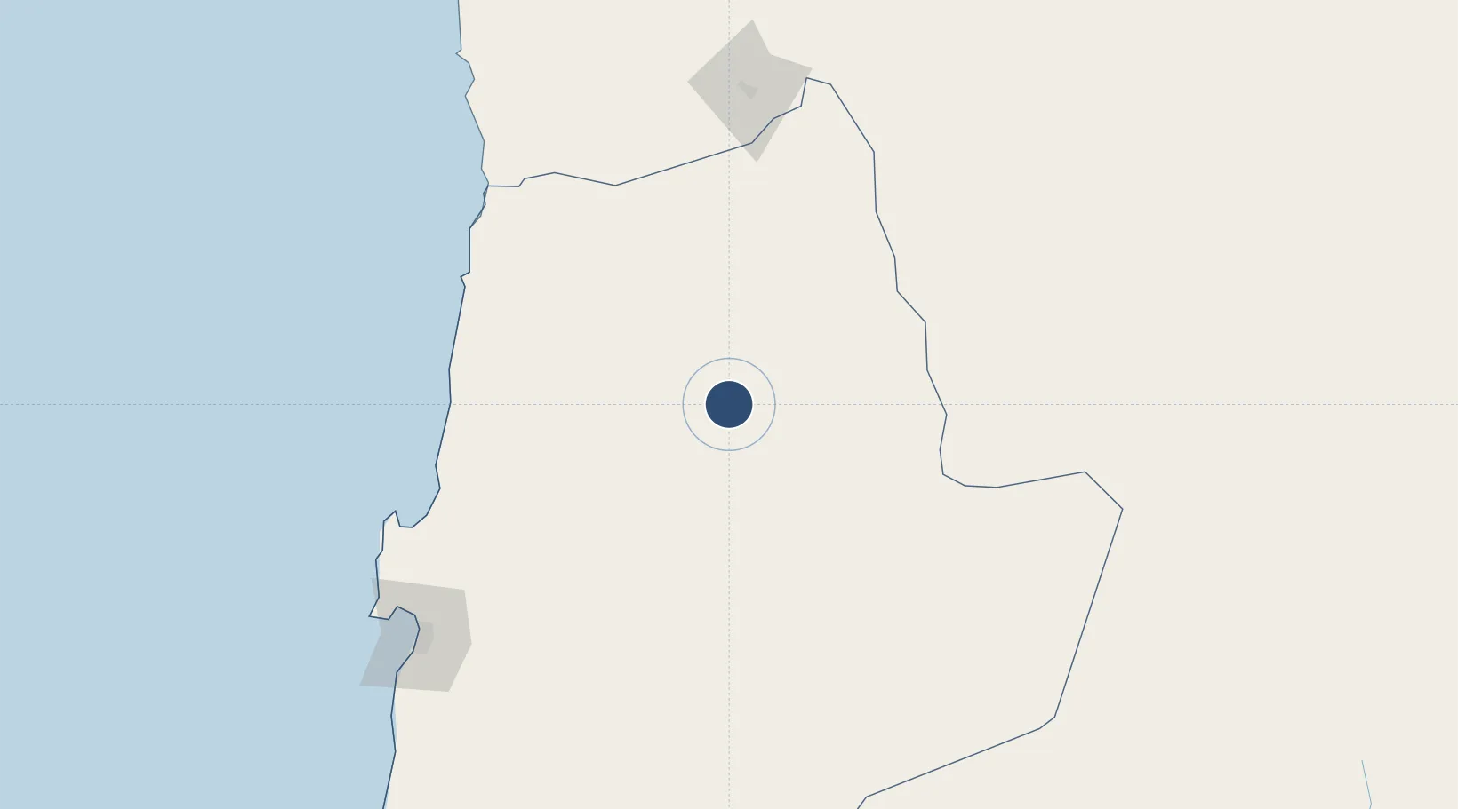
-22.4982°, -68.9036°
9,974 ft
Longest runway
1
Runways
7,543 ft
Elevation
Runway & Layout

Radio Frequencies
TWR
118.7 MHz
CALAMA TWR
APP
120.9 MHz
CALAMA APP
Navaids
CFL NDB Calama 215 kHz
LOA VOR-DME Calama 116.30 MHz
Runways · 1
| Runway | Dimensions | Surface | True heading | Lit |
|---|---|---|---|---|
| 10/28 | 9,974 × 148ft | Asphalt | 094° | ✓ |
Airport Specifications
IATA code
CJC
ICAO code
SCCF
Airport class
Medium airport
Scheduled service
Yes
Runway surface
Asphalt
Served city
Calama
Location
Nearby Logistics Neighbours
Airports
- 1Barriles Airport126 km
- 2Andrés Sabella Gálvez International Airport190 km
- 3Diego Aracena International Airport255 km
- 4Uyuni Joya Andina Airport312 km
- 5Las Breas Airport372 km
Cities
- 1Calama6 km
- 2Sierra Gorda62 km
- 3Pedro de Valdivia79 km
- 4Tocopilla140 km
- 5Avaroa142 km
Ports
- 1Tocopilla144 km
- 2Mejillones174 km
- 3Antofagasta201 km
- 4Caleta Patillos238 km
- 5Iquique287 km
Trade Zones
DatabookThe Record of Consolidated Knowledge
Chile beyond logistics?