Transport Functions
Port
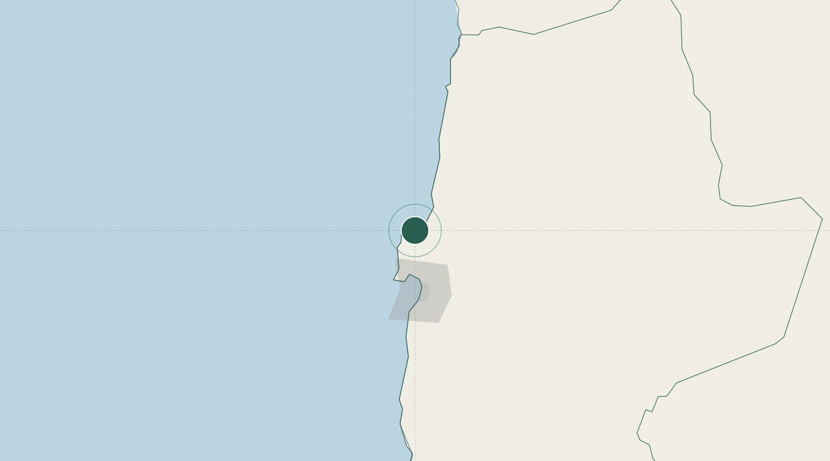
Hub Profile
Place type
Populated place
Region
Antofagasta
Population
14,084
Time zone
America/Santiago
Elevation
13 m
Location
Nearby Logistics Neighbours
Cities
- 1Puerto Angamos5 km
- 2Michilla45 km
- 3Antofagasta65 km
- 4Caleta Coloso72 km
- 5Pedro de Valdivia98 km
Ports
- 1Antofagasta61 km
- 2Tocopilla115 km
- 3Taltal256 km
- 4Caleta Patillos264 km
- 5Iquique324 km
Airports
- 1Andrés Sabella Gálvez International Airport38 km
- 2Barriles Airport114 km
- 3El Loa Airport172 km
- 4Las Breas Airport274 km
- 5Diego Aracena International Airport286 km
Trade Zones
DatabookThe Record of Consolidated Knowledge
Chile beyond logistics?