Transport Functions
Port
Road
Hub Profile
Region
QC
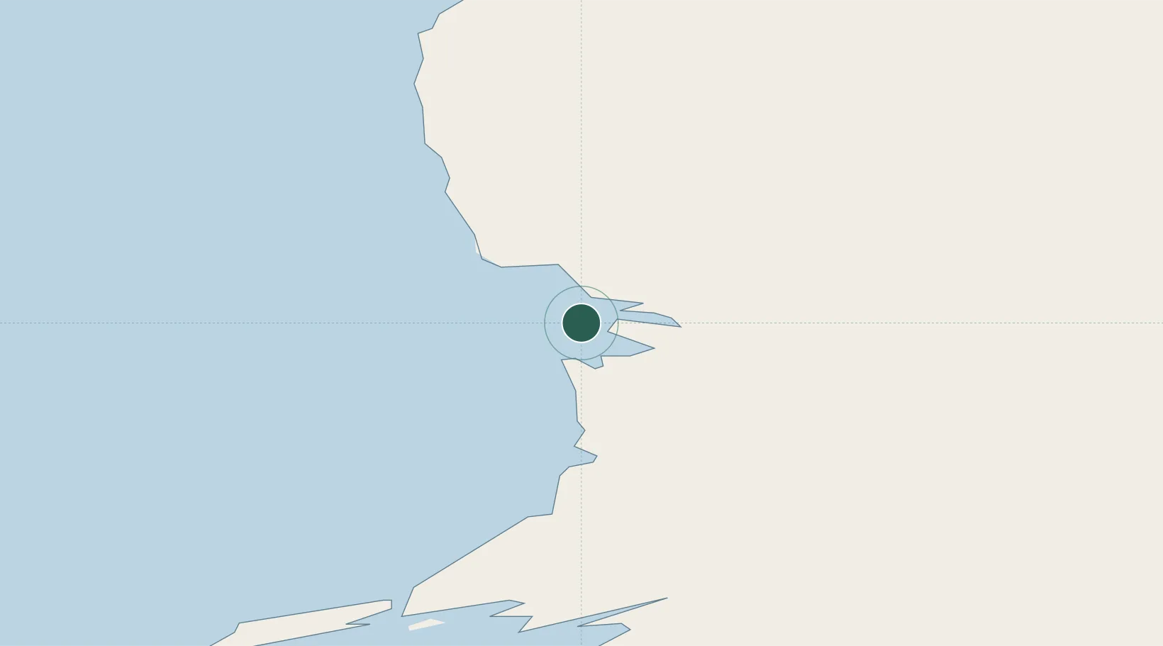
Location
Nearby Logistics Neighbours
Cities
- 1Coral Harbour398 km
- 2Breezewood435 km
- 3Iqaluit530 km
- 4Kuujjuaq647 km
- 5Tórshavn670 km
Ports
- 1Deception Bay173 km
- 2Pangnirtung776 km
- 3Pond Inlet1246 km
- 4Sept Iles1442 km
- 5Pointe Noire1443 km
Airports
- 1Akulivik Airport84 km
- 2Ivujivik Airport97 km
- 3Salluit Airport129 km
- 4Puvirnituq Airport169 km
- 5Cape Dorset Airport304 km
Trade Zones
- 1Québec City FTZ1688 km
- 2FTZ No. 179 Madawaska1695 km
- 3FTZ No. 016 Sault Ste. Marie1729 km
- 4Greater Montreal Free Zone Center1804 km
- 5FTZ No. 259 Koochiching County1806 km
DatabookThe Record of Consolidated Knowledge
Canada beyond logistics?