Small airport · Canada
Cape Dorset AirportCYTE
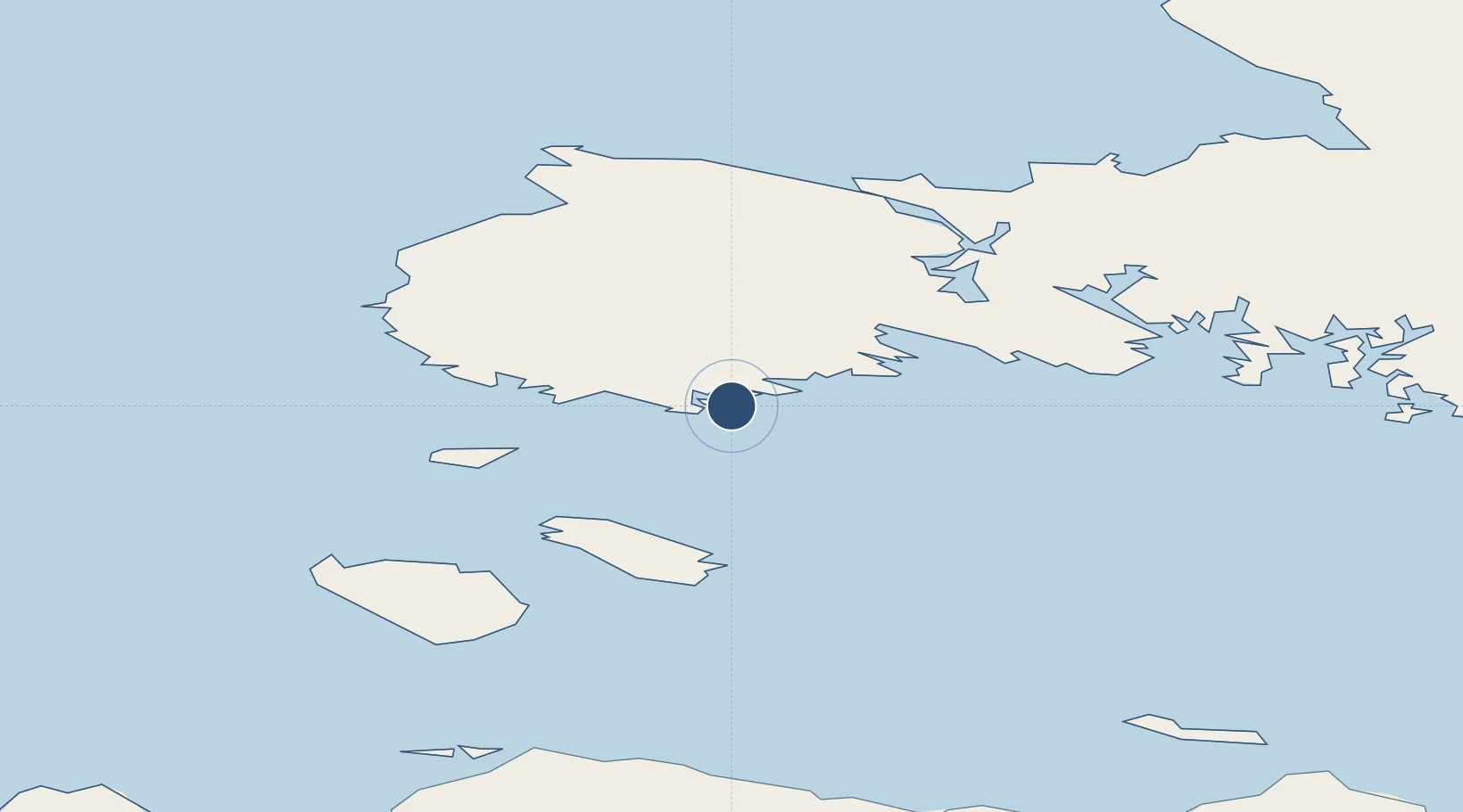
64.2300°, -76.5267°
4,000 ft
Longest runway
1
Runways
164 ft
Elevation
Runway & Layout

Radio Frequencies
AWOS
128.7 MHz
ATF
122.1 MHz
MANDATORY FREQ
RDO
122.1 MHz
ARPT RDO
Navaids
YTE NDB Cape Dorset 332 kHz
Runways · 1
| Runway | Dimensions | Surface | True heading | Lit |
|---|---|---|---|---|
| 13T/31T | 4,000 × 100ft | Gravel | 127° | ✓ |
Airport Specifications
IATA code
YTE
ICAO code
CYTE
Airport class
Small airport
Scheduled service
Yes
Runway surface
Gravel
Served city
Kinngait
Location
Nearby Logistics Neighbours
Airports
- 1Ivujivik Airport213 km
- 2Salluit Airport232 km
- 3Coral Harbour Airport330 km
- 4Kimmirut Airport363 km
- 5Kangiqsujuaq (Wakeham Bay) Airport375 km
Cities
- 1Kovik Bay304 km
- 2Coral Harbour322 km
- 3Iqaluit395 km
- 4Igloolik616 km
- 5Tórshavn621 km
Ports
- 1Deception Bay249 km
- 2Pangnirtung545 km
- 3Pond Inlet947 km
- 4Nain1175 km
- 5Pituffik (Thule Air Base)1395 km
Trade Zones
- 1FTZ No. 179 Madawaska1949 km
- 2Québec City FTZ1961 km
- 3Winnipegs Centreport Canada2004 km
- 4FTZ No. 016 Sault Ste. Marie2031 km
- 5FTZ No. 259 Koochiching County2071 km
DatabookThe Record of Consolidated Knowledge
Canada beyond logistics?