Transport Functions
Port
Road
Hub Profile
Place type
Locality
Region
Nunavut
Population
2,061
Time zone
America/Rankin_Inlet
Elevation
8 m
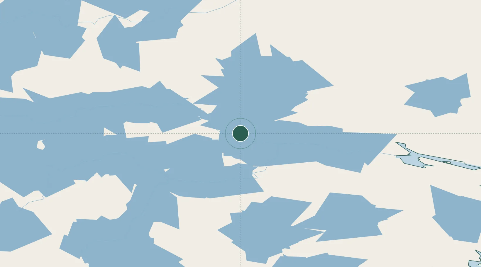
Location
Nearby Logistics Neighbours
Cities
- 1Rankin Inlet258 km
- 2Chesterfield Inlet283 km
- 3Whale Cove295 km
- 4Arviat372 km
- 5Gjoa Haven478 km
Ports
- 1Churchill623 km
- 2Thunder Bay1816 km
- 3Heron Bay1837 km
- 4Grand Marais1874 km
- 5Michipicoten1938 km
Airports
- 1Baker Lake Airport3 km
- 2Rankin Inlet Airport256 km
- 3Chesterfield Inlet Airport281 km
- 4Whale Cove Airport288 km
- 5Arviat Airport372 km
Trade Zones
- 1Port Alberta - Edmonton FTZ1537 km
- 2Winnipegs Centreport Canada1605 km
- 3Global Transportation Hub Authority1625 km
- 4FTZ No. 259 Koochiching County1787 km
- 5Calgary Region Inland Port1810 km
DatabookThe Record of Consolidated Knowledge
Canada beyond logistics?