Transport Functions
Rail
Road
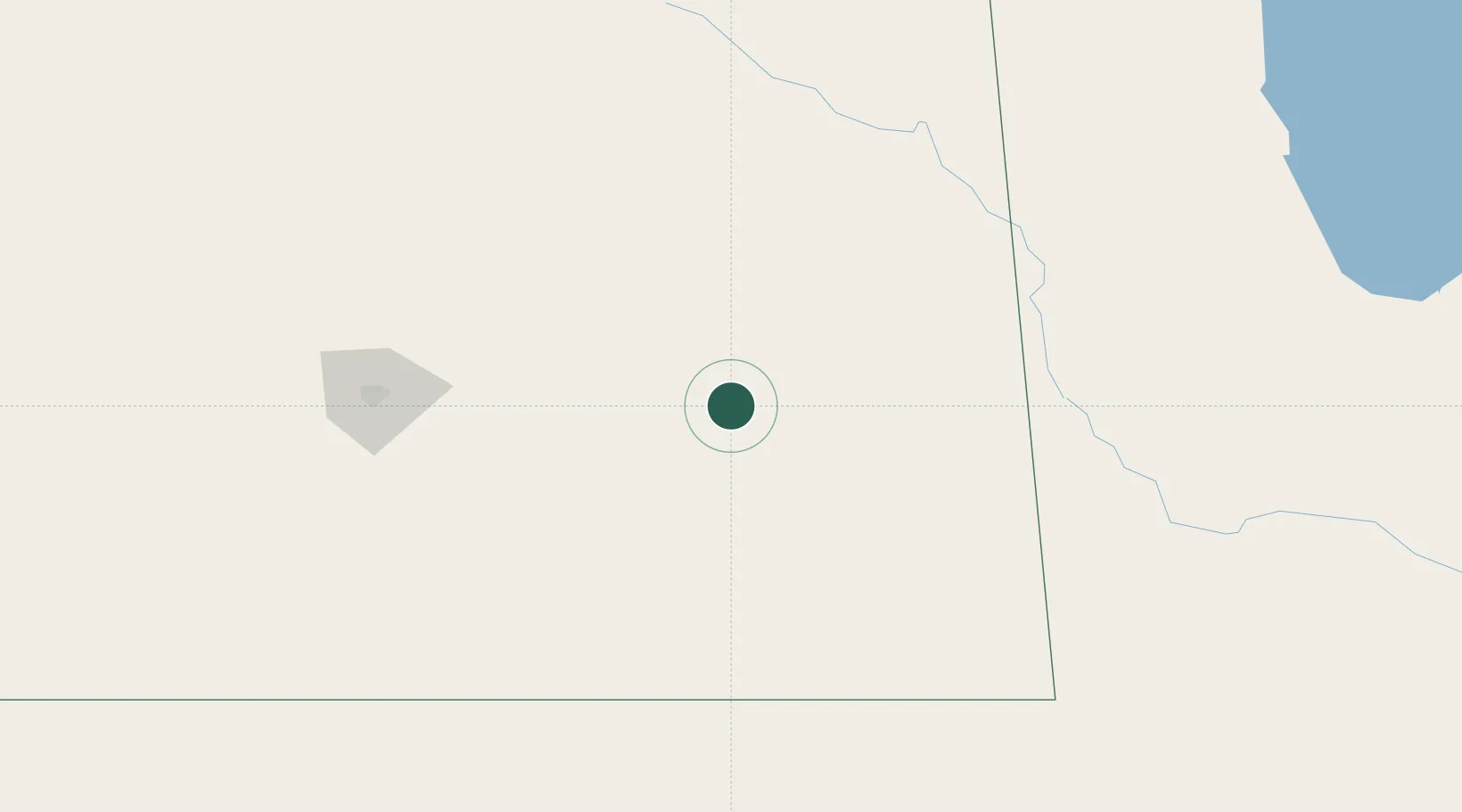
Hub Profile
Place type
Populated place
Region
Saskatchewan
Population
997
Time zone
America/Regina
Elevation
595 m
Location
Nearby Logistics Neighbours
Cities
- 1Neudorf36 km
- 2Whitewood48 km
- 3Indian Head55 km
- 4Langbank60 km
- 5Melville60 km
Ports
- 1Duluth891 km
- 2Superior895 km
- 3Two Harbors907 km
- 4Grand Marais961 km
- 5Bayfield974 km
Airports
Trade Zones
- 1Global Transportation Hub Authority130 km
- 2Winnipegs Centreport Canada415 km
- 3FTZ No. 103 Grand Forks501 km
- 4FTZ No. 267 Fargo588 km
- 5FTZ No. 259 Koochiching County666 km
DatabookThe Record of Consolidated Knowledge
Canada beyond logistics?