Transport Functions
Multimodal
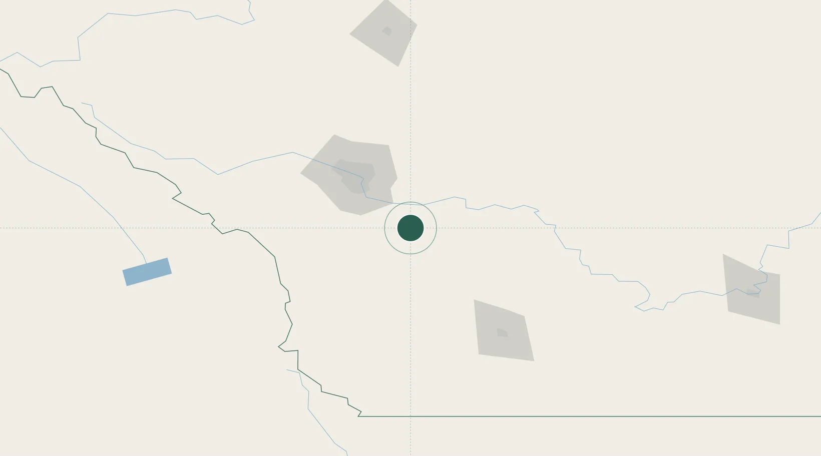
Hub Profile
Place type
Locality
Region
Alberta
Time zone
America/Edmonton
Elevation
1,018 m
Location
Nearby Logistics Neighbours
Cities
- 1Okotoks27 km
- 2Nanton30 km
- 3Vulcan34 km
- 4Langdon41 km
- 5Chestermere50 km
Ports
- 1Mission City640 km
- 2Bellingham671 km
- 3Port Coquitlam672 km
- 4Fraser Mills679 km
- 5Port Moody679 km
Airports
- 1Calgary International Airport64 km
- 2Calgary / Springbank Airport77 km
- 3Lethbridge County Airport123 km
- 4Pincher Creek Airport123 km
- 5Red Deer Regional Airport177 km
Trade Zones
- 1Calgary Region Inland Port59 km
- 2FTZ No. 187 Toole County241 km
- 3FTZ No. 242 Boundary County309 km
- 4Port Alberta - Edmonton FTZ338 km
- 5FTZ No. 088 Great Falls379 km
DatabookThe Record of Consolidated Knowledge
Canada beyond logistics?