Transport Functions
Rail
Road
Hub Profile
Place type
Populated place
Region
Alberta
Population
30,214
Time zone
America/Edmonton
Elevation
1,071 m
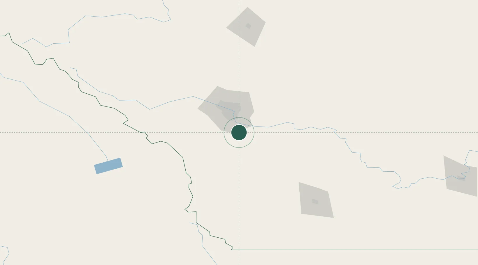
Location
Nearby Logistics Neighbours
Cities
- 1Blackie27 km
- 2Langdon34 km
- 3Calgary34 km
- 4Chestermere36 km
- 5Nanton43 km
Ports
- 1Mission City619 km
- 2Port Coquitlam651 km
- 3Bellingham652 km
- 4Port Moody658 km
- 5Fraser Mills658 km
Airports
- 1Calgary International Airport45 km
- 2Calgary / Springbank Airport52 km
- 3Pincher Creek Airport133 km
- 4Lethbridge County Airport146 km
- 5Red Deer Regional Airport163 km
Trade Zones
- 1Calgary Region Inland Port38 km
- 2FTZ No. 187 Toole County263 km
- 3FTZ No. 242 Boundary County301 km
- 4Port Alberta - Edmonton FTZ327 km
- 5FTZ No. 088 Great Falls401 km
DatabookThe Record of Consolidated Knowledge
Canada beyond logistics?