Runway & Layout

Airport Specifications
IATA code
YIG
ICAO code
CAF6
Airport class
Seaplane base
Scheduled service
Yes
Served city
Stuart Island
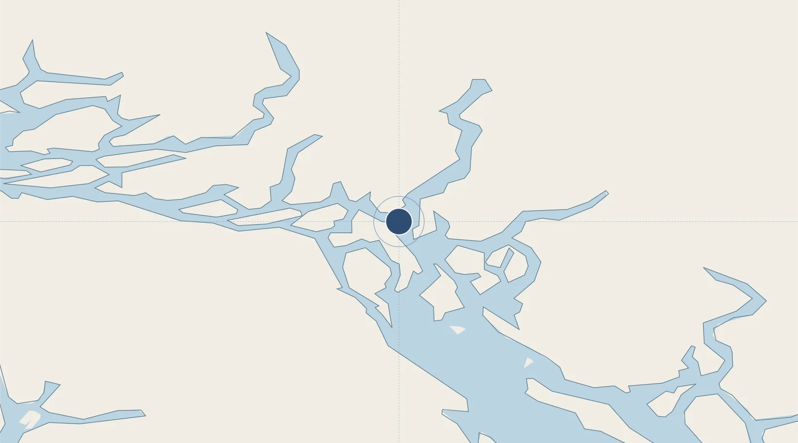
Location
Nearby Logistics Neighbours
Airports
Cities
- 1Campbell River43 km
- 2Sayward56 km
- 3Denman Island97 km
- 4Beaver Cove123 km
- 5Port McNeill141 km
Ports
- 1Duncan Bay38 km
- 2Comox Harbor82 km
- 3Gold River105 km
- 4Tahsis121 km
- 5Alert Bay129 km
Trade Zones
- 1FTZ Vancouver Island193 km
- 2FTZ No. 128 Whatcom County256 km
- 3FTZ No. 129 Bellingham262 km
- 4FTZ No. 085 Everett340 km
- 5FTZ No. 173 Grays Harbor364 km
DatabookThe Record of Consolidated Knowledge
Canada beyond logistics?