Transport Functions
Port
Multimodal
Hub Profile
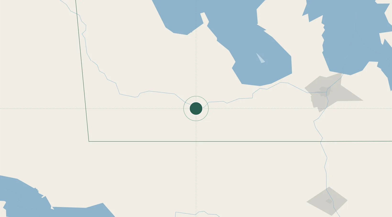
Place type
Populated place
Region
Manitoba
Time zone
America/Winnipeg
Elevation
365 m
Location
Nearby Logistics Neighbours
Ports
- 1Duluth628 km
- 2Superior632 km
- 3Two Harbors643 km
- 4Grand Marais699 km
- 5Bayfield710 km
Airports
Trade Zones
- 1Winnipegs Centreport Canada170 km
- 2FTZ No. 103 Grand Forks250 km
- 3FTZ No. 267 Fargo355 km
- 4Global Transportation Hub Authority391 km
- 5FTZ No. 259 Koochiching County402 km
DatabookThe Record of Consolidated Knowledge
Canada beyond logistics?