Transport Functions
Rail
Road
Multimodal
Hub Profile
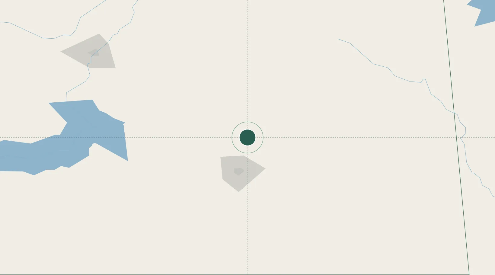
Place type
Populated place
Region
Saskatchewan
Population
832
Time zone
America/Regina
Elevation
555 m
Location
Nearby Logistics Neighbours
Cities
- 1Emerald Park24 km
- 2Fort Qu'Appelle54 km
- 3McLean56 km
- 4Leross59 km
- 5Richardson61 km
Ports
- 1Duluth1017 km
- 2Superior1021 km
- 3Two Harbors1032 km
- 4Grand Marais1084 km
- 5Churchill1091 km
Airports
Trade Zones
- 1Global Transportation Hub Authority57 km
- 2Winnipegs Centreport Canada534 km
- 3FTZ No. 187 Toole County616 km
- 4FTZ No. 103 Grand Forks627 km
- 5FTZ No. 088 Great Falls632 km
DatabookThe Record of Consolidated Knowledge
Canada beyond logistics?