Transport Functions
Rail
Road
Multimodal
Hub Profile
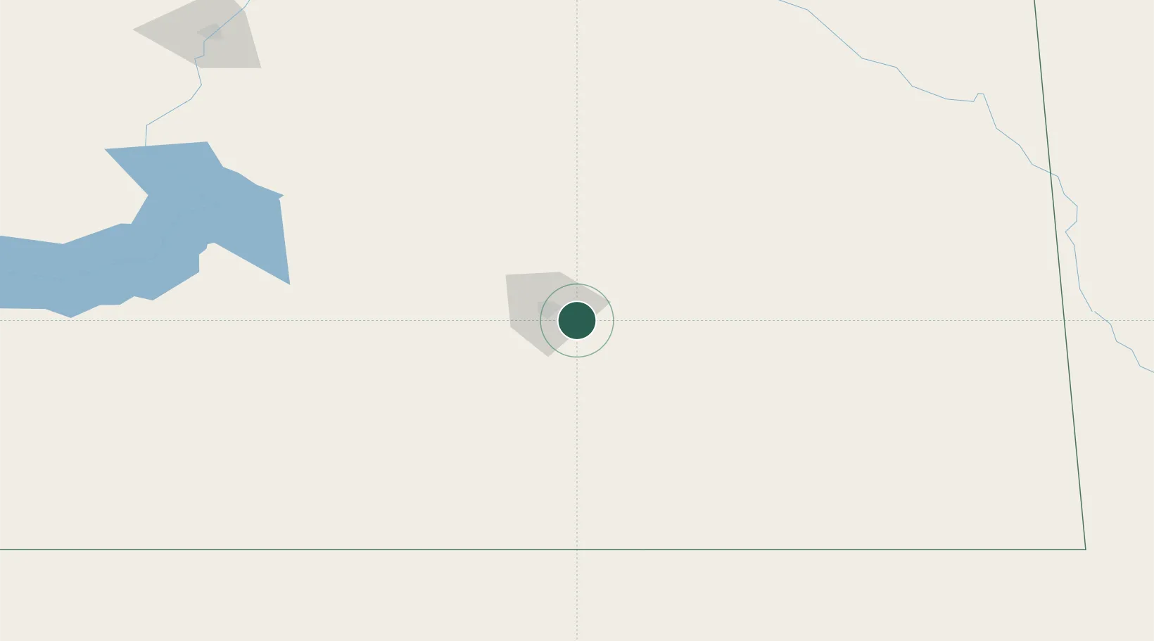
Place type
Populated place
Region
Saskatchewan
Time zone
America/Regina
Elevation
582 m
Location
Nearby Logistics Neighbours
Cities
- 1McLean31 km
- 2Wilcox37 km
- 3Vibank37 km
- 4Sedley40 km
- 5Emerald Park41 km
Ports
- 1Duluth992 km
- 2Superior996 km
- 3Two Harbors1010 km
- 4Grand Marais1067 km
- 5Bayfield1077 km
Airports
Trade Zones
- 1Global Transportation Hub Authority22 km
- 2Winnipegs Centreport Canada524 km
- 3FTZ No. 103 Grand Forks596 km
- 4FTZ No. 187 Toole County600 km
- 5FTZ No. 088 Great Falls602 km
DatabookThe Record of Consolidated Knowledge
Canada beyond logistics?