Transport Functions
Rail
Road
Hub Profile
Place type
Populated place
Region
Saskatchewan
Time zone
America/Regina
Elevation
484 m
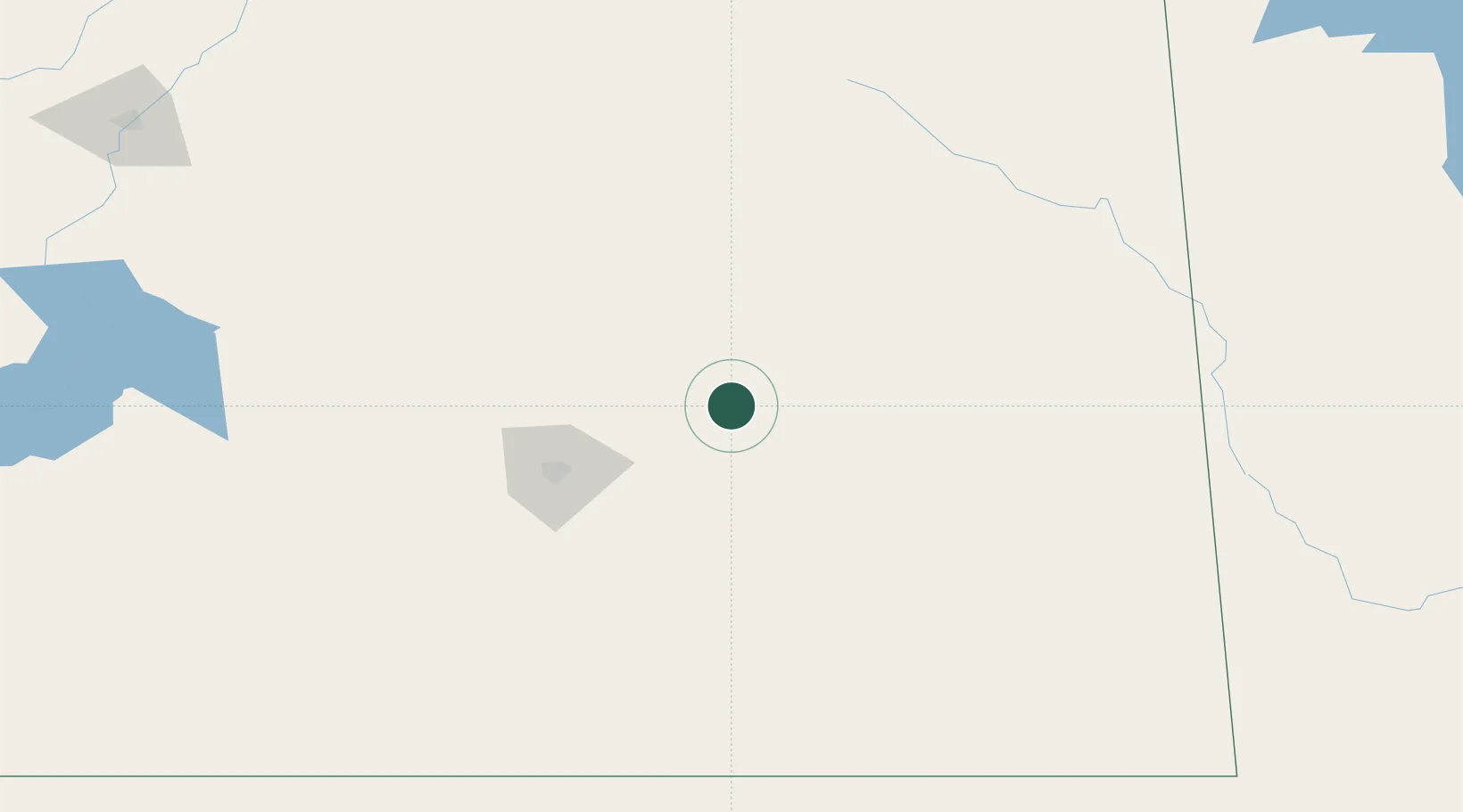
Location
Nearby Logistics Neighbours
Cities
- 1Indian Head27 km
- 2Qu'Appelle28 km
- 3McLean34 km
- 4Ituna49 km
- 5Vibank49 km
Ports
- 1Duluth963 km
- 2Superior968 km
- 3Two Harbors979 km
- 4Grand Marais1030 km
- 5Bayfield1046 km
Airports
Trade Zones
- 1Global Transportation Hub Authority77 km
- 2Winnipegs Centreport Canada481 km
- 3FTZ No. 103 Grand Forks574 km
- 4FTZ No. 187 Toole County657 km
- 5FTZ No. 267 Fargo662 km
DatabookThe Record of Consolidated Knowledge
Canada beyond logistics?