Transport Functions
Port
Road
Hub Profile
Place type
Populated place
Region
Saskatchewan
Time zone
America/Regina
Elevation
609 m
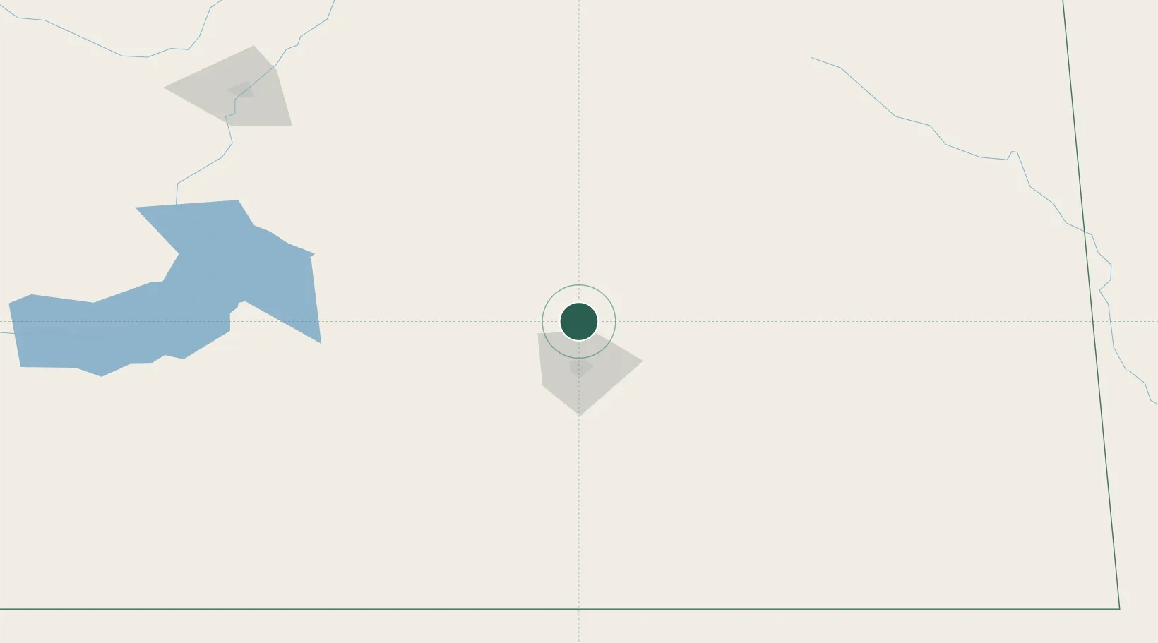
Location
Nearby Logistics Neighbours
Cities
- 1Southey24 km
- 2Richardson41 km
- 3McLean47 km
- 4Qu'Appelle59 km
- 5Fort Qu'Appelle60 km
Ports
- 1Duluth1018 km
- 2Superior1022 km
- 3Two Harbors1034 km
- 4Grand Marais1088 km
- 5Bayfield1101 km
Airports
Trade Zones
- 1Global Transportation Hub Authority33 km
- 2Winnipegs Centreport Canada540 km
- 3FTZ No. 187 Toole County599 km
- 4FTZ No. 088 Great Falls612 km
- 5FTZ No. 103 Grand Forks625 km
DatabookThe Record of Consolidated Knowledge
Canada beyond logistics?