Transport Functions
Rail
Road
Hub Profile
Place type
Populated place
Region
Saskatchewan
Time zone
America/Regina
Elevation
670 m
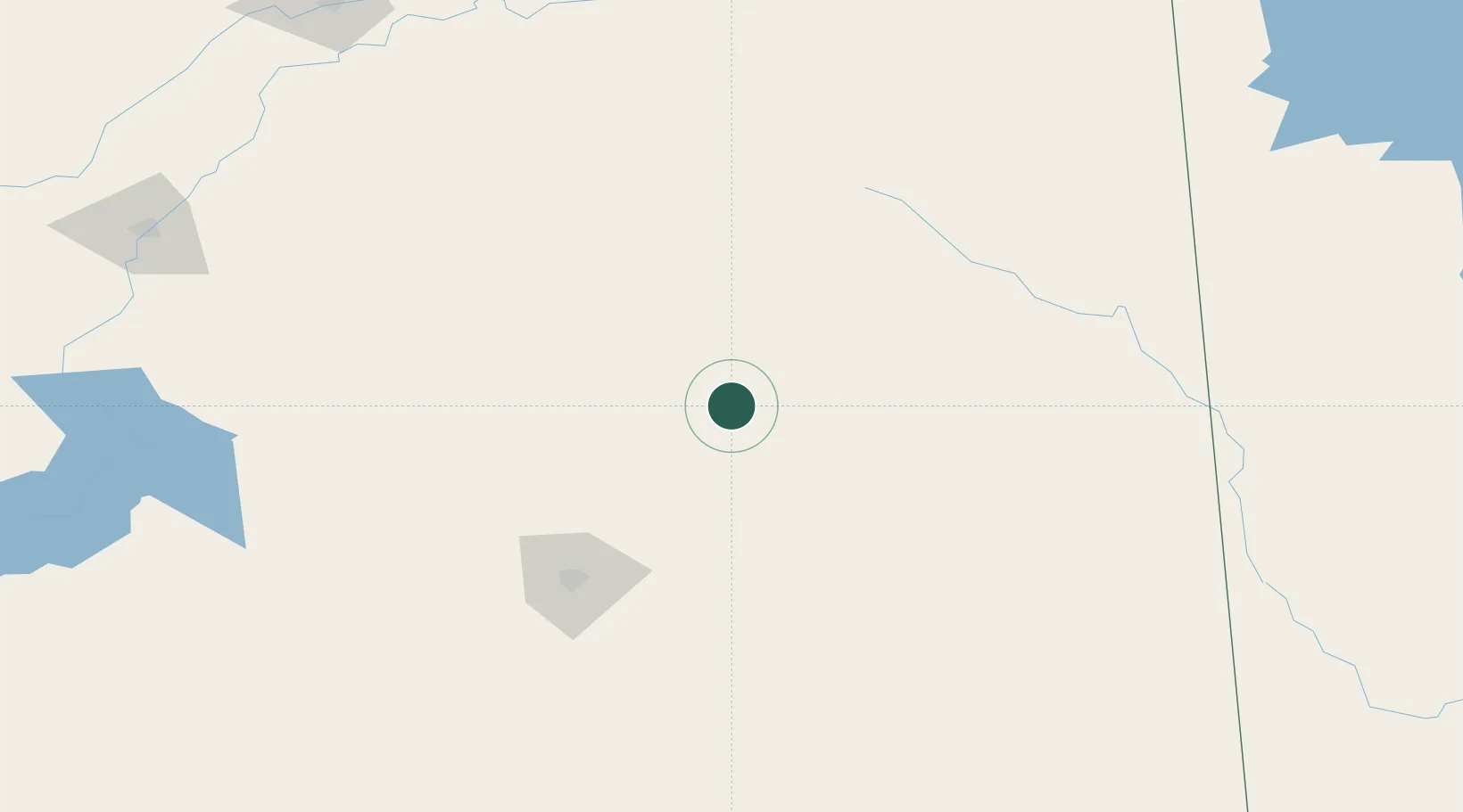
Location
Nearby Logistics Neighbours
Cities
- 1Ituna29 km
- 2Fort Qu'Appelle58 km
- 3Southey59 km
- 4Springside79 km
- 5Rama79 km
Ports
- 1Duluth992 km
- 2Superior997 km
- 3Two Harbors1006 km
- 4Churchill1035 km
- 5Grand Marais1051 km
Airports
Trade Zones
- 1Global Transportation Hub Authority112 km
- 2Winnipegs Centreport Canada499 km
- 3FTZ No. 103 Grand Forks610 km
- 4FTZ No. 187 Toole County672 km
- 5FTZ No. 088 Great Falls690 km
DatabookThe Record of Consolidated Knowledge
Canada beyond logistics?