Seaport · Canada
St JohnCASJB
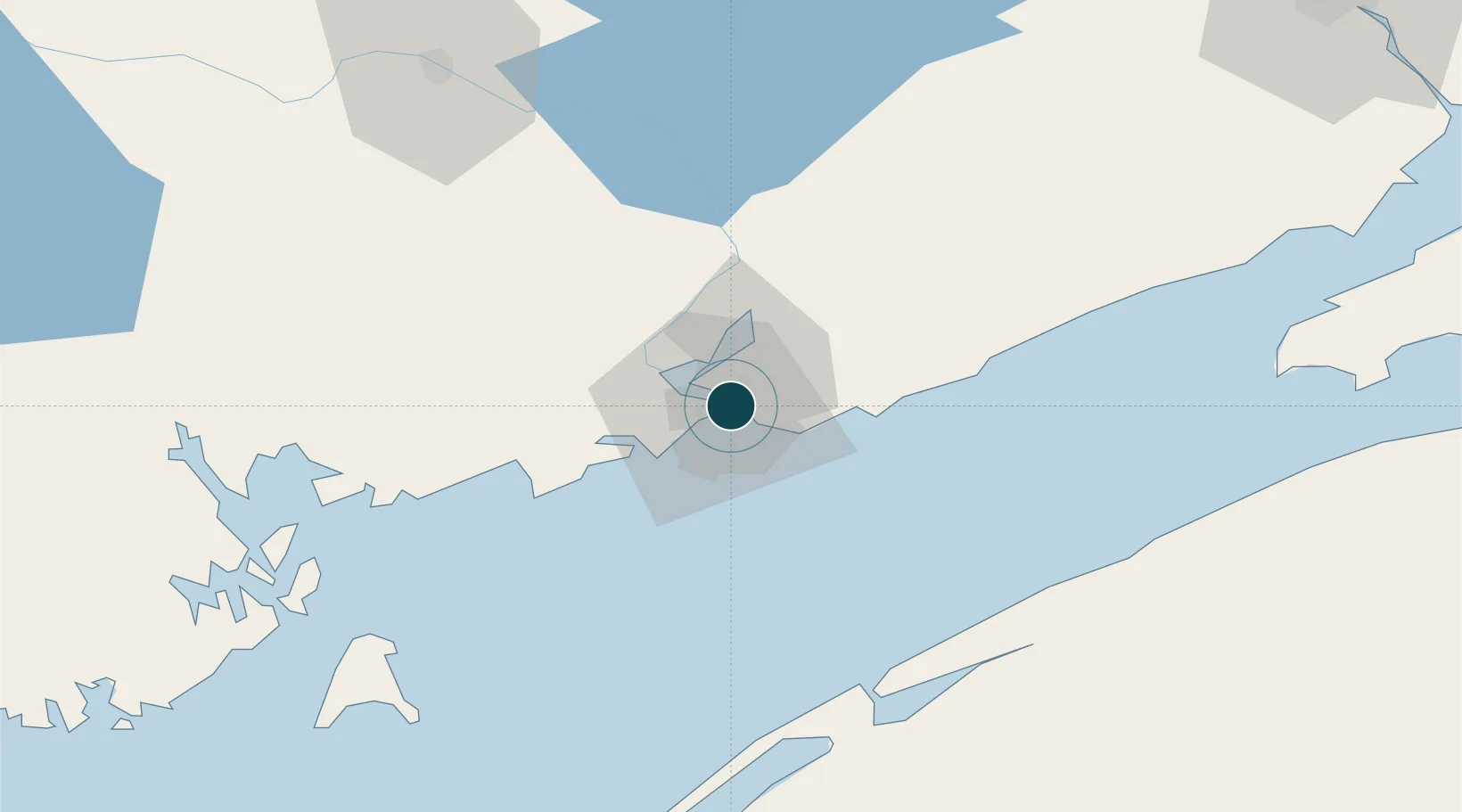
45.2667°, -66.0500°
7.9 m
Channel depth
1
Container terminals
71.8
Port liner connectivity
Channel & Berth Profile
Pilotage, Tugs & Services
Pilotage compulsoryYES
Pilotage availableYES
Tug assistanceYES
Shore powerYES
Potable waterYES
Diesel bunkersYES
MedicalYES
Garbage disposalYES
Facilities & Capabilities
Container—
Ro-Ro—
Liquid bulk—
Dry bulk—
Oil terminal—
Break bulk—
Dry dockNO
RepairsNO
BunkeringYES
Rail linkYES
Dangerous cargo—
ISPS securityYES
Harbour Specifications
Harbour size
Medium
Harbour type
Coastal (Breakwater)
Shelter
Excellent
Water body
Bay of Fundy; North Atlantic Ocean
Tidal range
9 m
Pilotage
Yes
Liner Connectivity
71.8
PLSCI
Port Liner Shipping Connectivity Index for St John, as published by UNCTAD for the latest available quarter. Higher values indicate stronger scheduled liner-shipping integration.
Shown relative to the highest per-port PLSCI in the dataset (1,657.9).
Location
Container Terminals · 1
DP WORLD SAINT JOHN
DPWSJB
Nearby Logistics Neighbours
Ports
- 1Canaport (St. John)9 km
- 2Digby76 km
- 3Eastport84 km
- 4Lubec86 km
- 5Port Bayside Nb86 km
Cities
- 1Colchester County17 km
- 2Jemseg61 km
- 3Saint-George64 km
- 4Quispamsis64 km
- 5Oromocto70 km
Airports
Trade Zones
- 1Saint John2 km
- 2Halifax Gateway206 km
- 3FTZ No. 058 Bangor223 km
- 4FTZ No. 179 Madawaska285 km
- 5FTZ No. 186 Waterville299 km
DatabookThe Record of Consolidated Knowledge
Canada beyond logistics?