Transport Functions
Rail
Road
Hub Profile
Place type
Populated place
Region
Saskatchewan
Time zone
America/Regina
Elevation
622 m
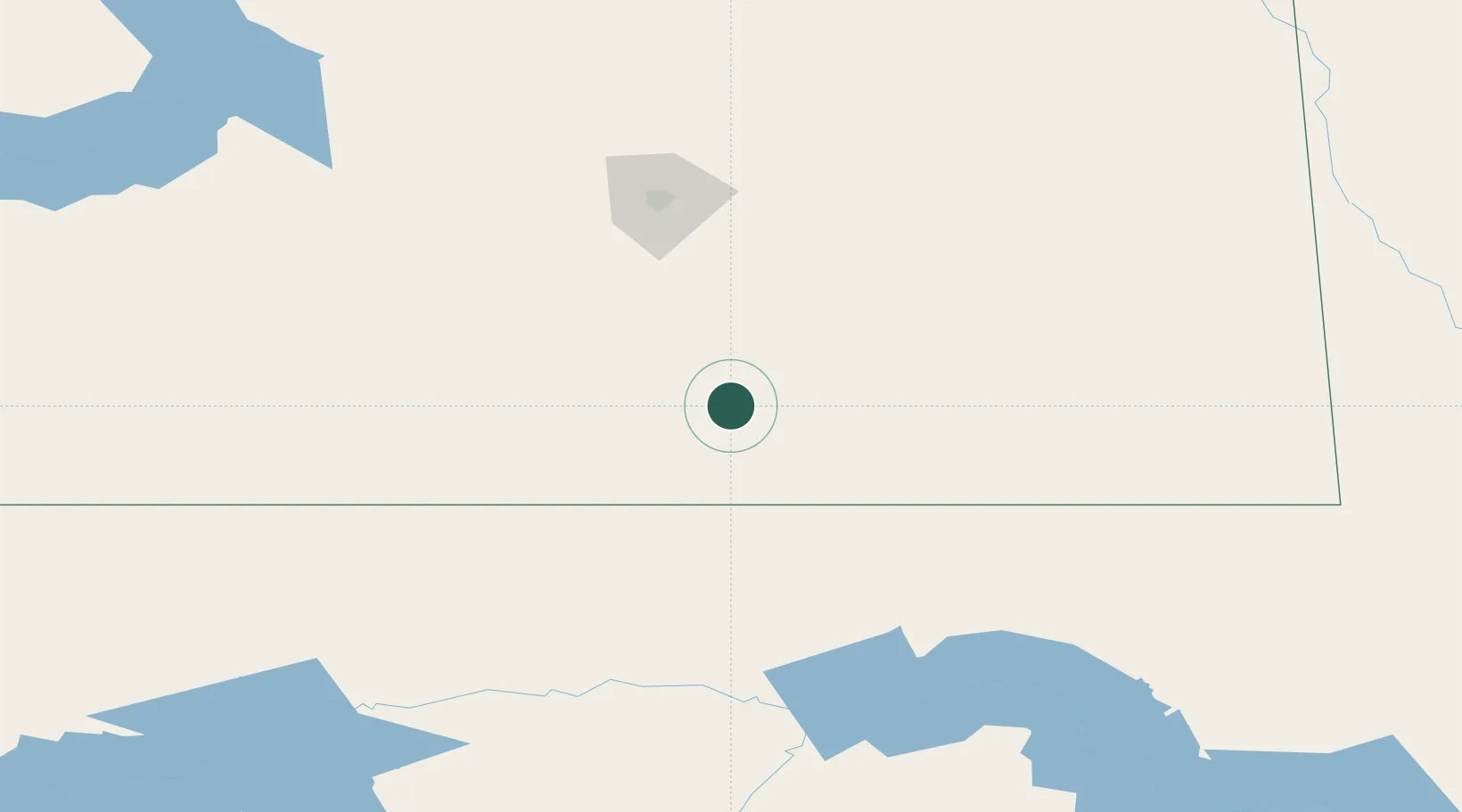
Location
Nearby Logistics Neighbours
Ports
- 1Duluth952 km
- 2Superior956 km
- 3Two Harbors973 km
- 4Bayfield1041 km
- 5Washburn1042 km
Airports
Trade Zones
- 1Global Transportation Hub Authority114 km
- 2Winnipegs Centreport Canada516 km
- 3FTZ No. 103 Grand Forks550 km
- 4FTZ No. 088 Great Falls571 km
- 5FTZ No. 187 Toole County591 km
DatabookThe Record of Consolidated Knowledge
Canada beyond logistics?