Transport Functions
Rail
Road
Hub Profile
Place type
Populated place
Region
Saskatchewan
Time zone
America/Regina
Elevation
576 m
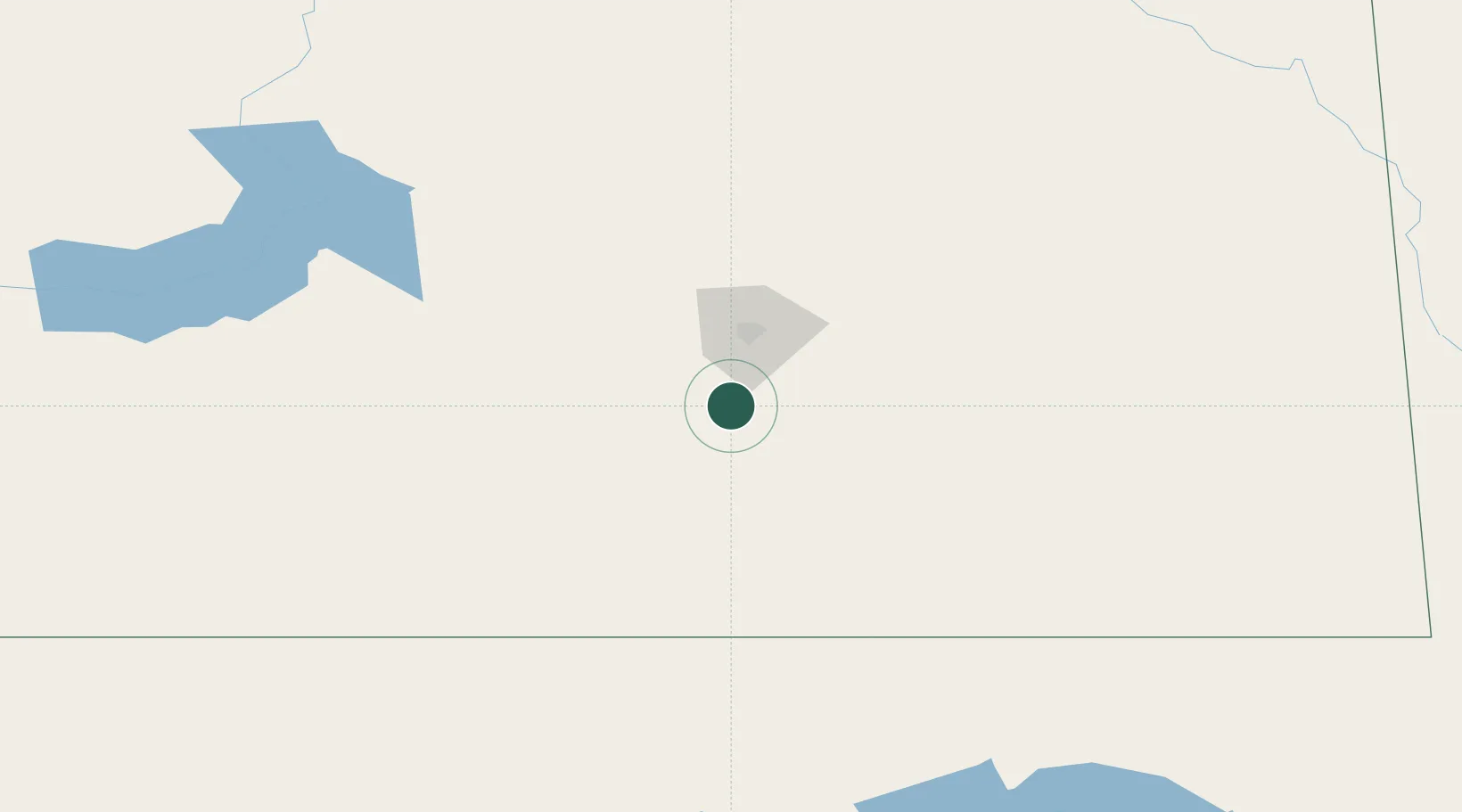
Location
Nearby Logistics Neighbours
Cities
- 1Avonlea27 km
- 2Richardson37 km
- 3Pangman50 km
- 4Sedley52 km
- 5Vibank62 km
Ports
- 1Duluth1000 km
- 2Superior1004 km
- 3Two Harbors1019 km
- 4Grand Marais1081 km
- 5Bayfield1087 km
Airports
Trade Zones
- 1Global Transportation Hub Authority39 km
- 2Winnipegs Centreport Canada542 km
- 3FTZ No. 088 Great Falls571 km
- 4FTZ No. 187 Toole County573 km
- 5FTZ No. 103 Grand Forks601 km
DatabookThe Record of Consolidated Knowledge
Canada beyond logistics?