Transport Functions
Rail
Road
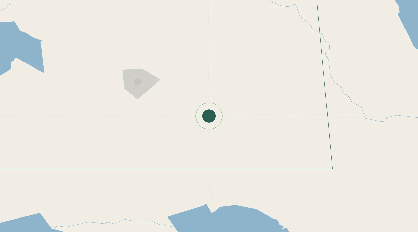
Hub Profile
Place type
Populated place
Region
Saskatchewan
Time zone
America/Regina
Elevation
614 m
Location
Nearby Logistics Neighbours
Cities
- 1Sedley51 km
- 2Vibank61 km
- 3Macoun64 km
- 4Grenfell68 km
- 5Indian Head74 km
Ports
- 1Duluth906 km
- 2Superior910 km
- 3Two Harbors924 km
- 4Grand Marais987 km
- 5Bayfield992 km
Airports
Trade Zones
- 1Global Transportation Hub Authority113 km
- 2Winnipegs Centreport Canada451 km
- 3FTZ No. 103 Grand Forks507 km
- 4FTZ No. 267 Fargo584 km
- 5FTZ No. 088 Great Falls644 km
DatabookThe Record of Consolidated Knowledge
Canada beyond logistics?