Transport Functions
Rail
Road
Hub Profile
Place type
Populated place
Region
Saskatchewan
Time zone
America/Regina
Elevation
577 m
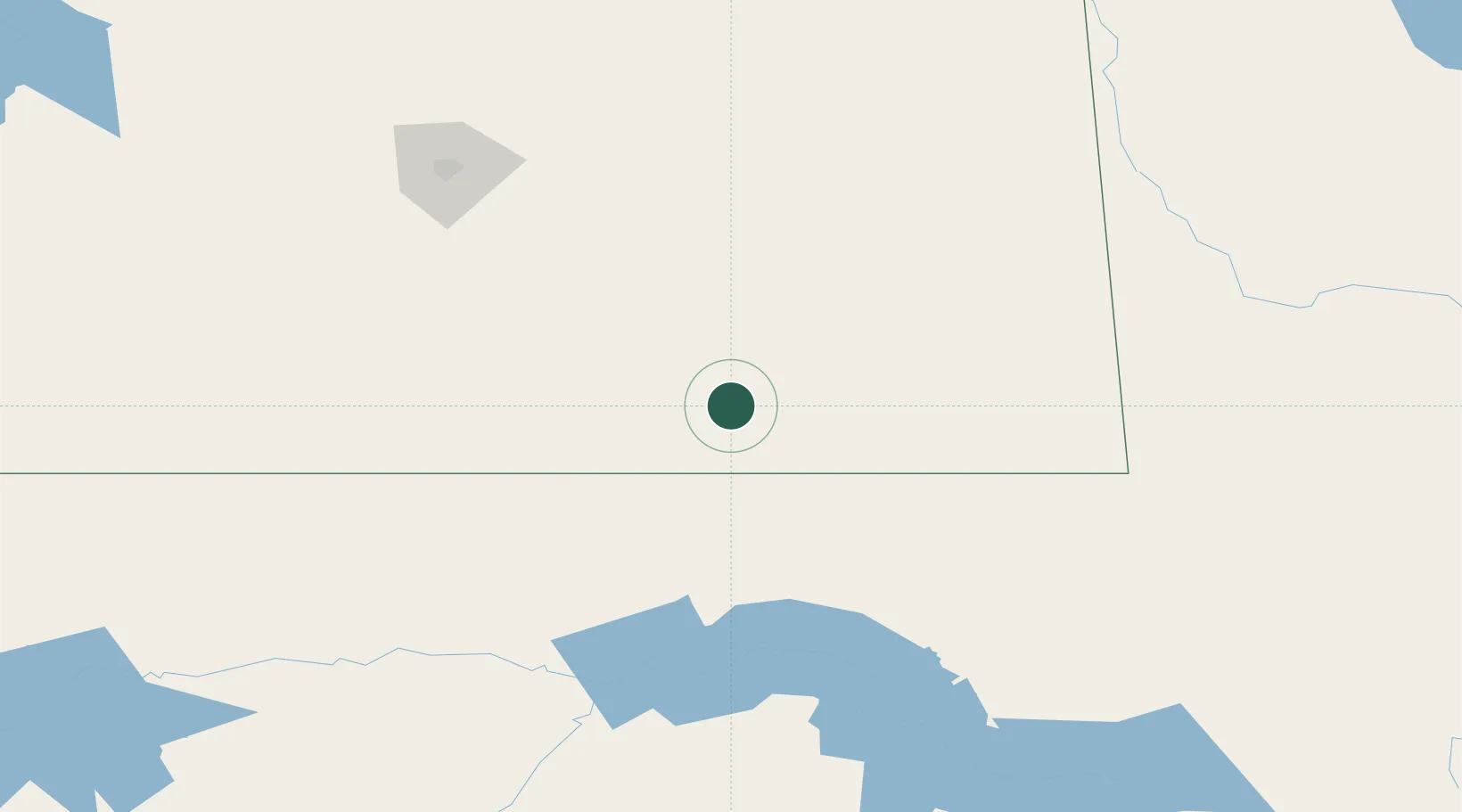
Location
Nearby Logistics Neighbours
Cities
- 1Bienfait39 km
- 2North Portal63 km
- 3Fillmore64 km
- 4Radville75 km
- 5Carlyle80 km
Ports
- 1Duluth876 km
- 2Superior880 km
- 3Two Harbors898 km
- 4Bayfield965 km
- 5Washburn966 km
Airports
Trade Zones
- 1Global Transportation Hub Authority165 km
- 2Winnipegs Centreport Canada446 km
- 3FTZ No. 103 Grand Forks474 km
- 4FTZ No. 267 Fargo542 km
- 5FTZ No. 088 Great Falls636 km
DatabookThe Record of Consolidated Knowledge
Canada beyond logistics?