Transport Functions
Rail
Road
Hub Profile
Place type
Populated place
Region
Saskatchewan
Time zone
America/Regina
Elevation
696 m
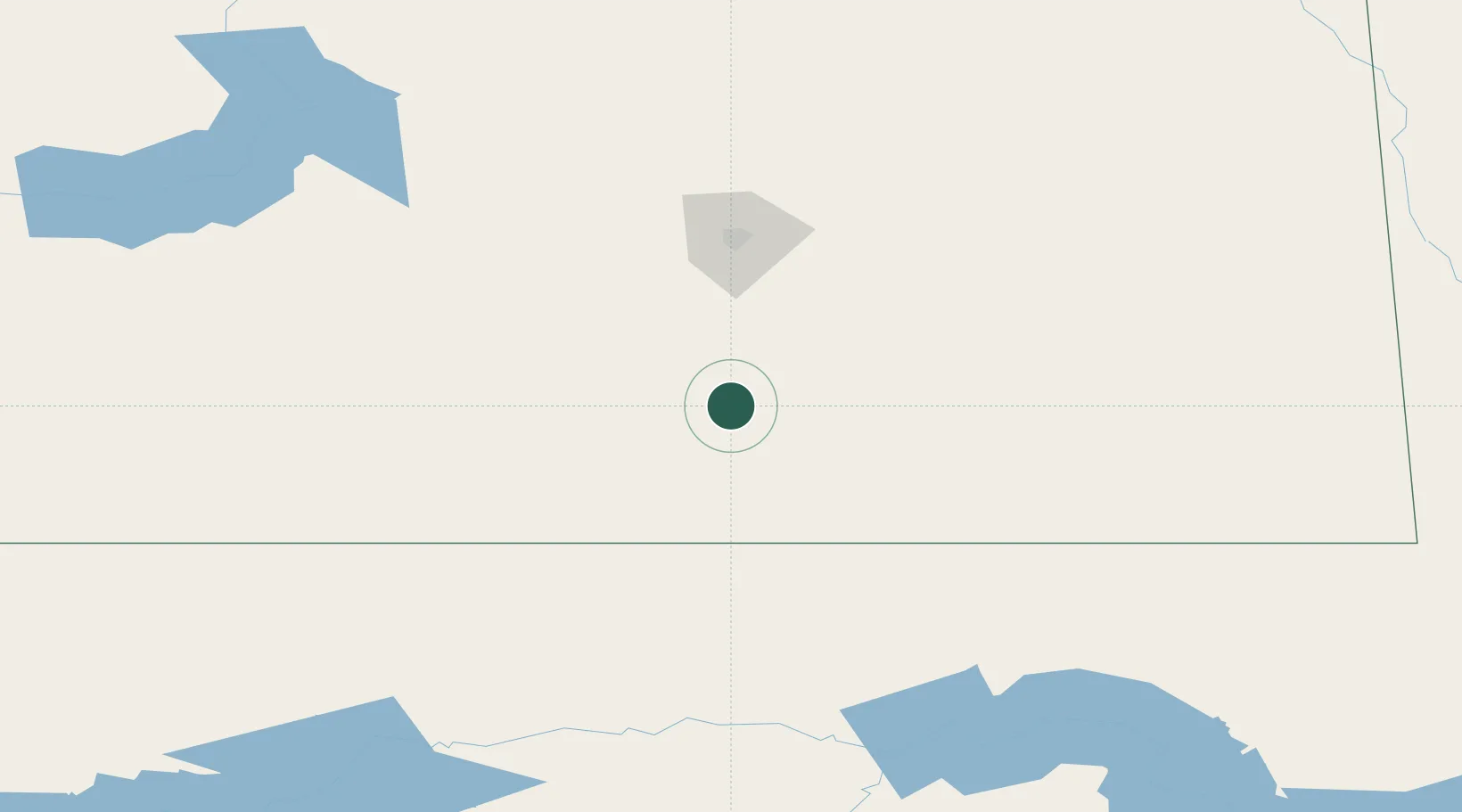
Location
Nearby Logistics Neighbours
Cities
- 1Radville33 km
- 2Wilcox50 km
- 3Avonlea51 km
- 4Sedley74 km
- 5Richardson83 km
Ports
- 1Duluth982 km
- 2Superior986 km
- 3Two Harbors1003 km
- 4Grand Marais1070 km
- 5Bayfield1071 km
Airports
Trade Zones
- 1Global Transportation Hub Authority89 km
- 2Winnipegs Centreport Canada540 km
- 3FTZ No. 088 Great Falls554 km
- 4FTZ No. 187 Toole County568 km
- 5FTZ No. 103 Grand Forks581 km
DatabookThe Record of Consolidated Knowledge
Canada beyond logistics?