Transport Functions
Port
Road
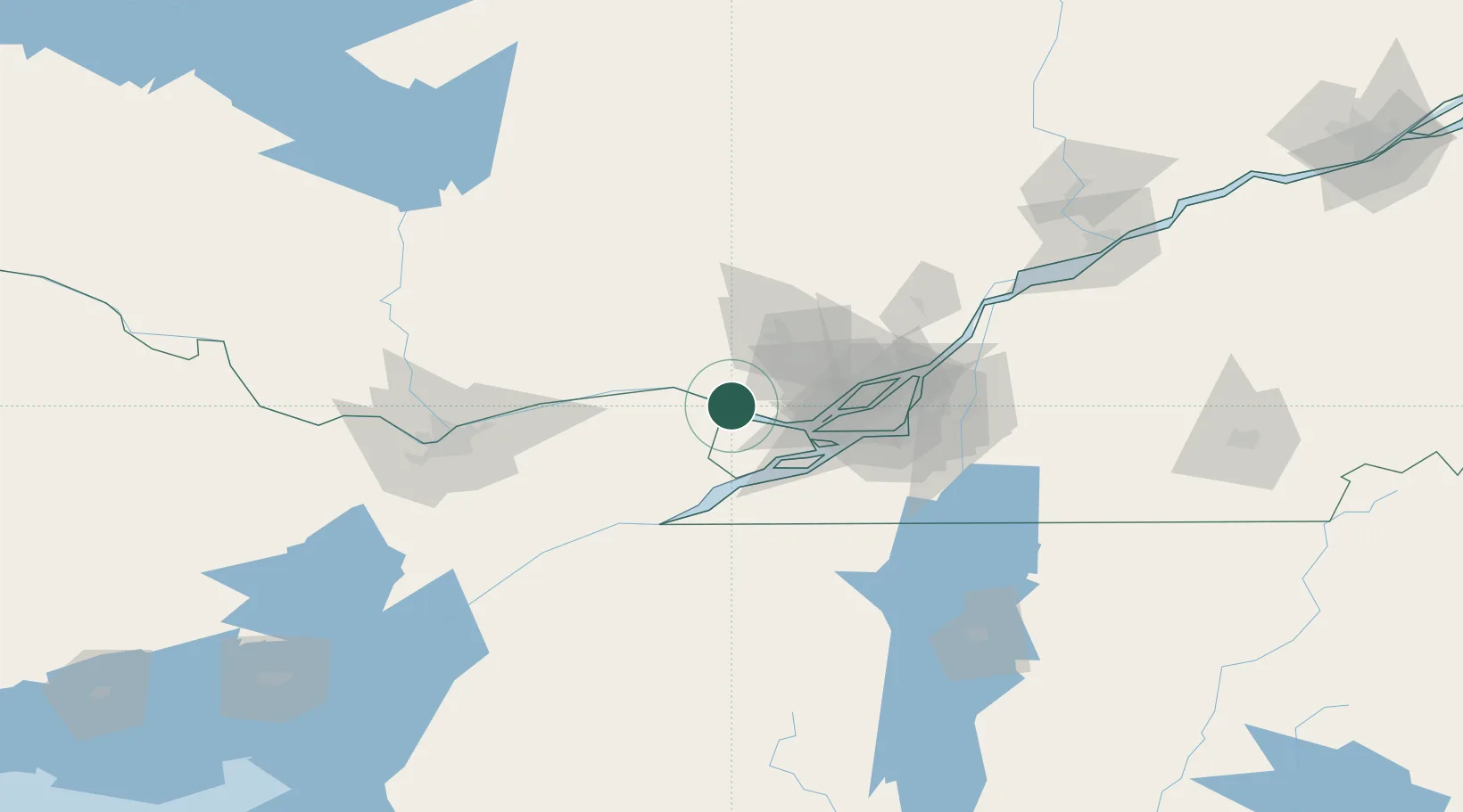
Hub Profile
Place type
Populated place
Region
Quebec
Time zone
America/Toronto
Elevation
19 m
Location
Nearby Logistics Neighbours
Cities
- 1Rigaud12 km
- 2Saint-Joseph-du-Lac30 km
- 3Vaudreuil-Dorion32 km
- 4Saint-Dominique33 km
- 5Saint-Eustache36 km
Ports
- 1St Andrews East3 km
- 2Chute A Blondeau8 km
- 3St Placide14 km
- 4Grenville20 km
- 5Hawkesbury20 km
Airports
Trade Zones
- 1Greater Montreal Free Zone Center63 km
- 2FTZ No. 118 Ogdensburg131 km
- 3FTZ No. 109 Watertown213 km
- 4Québec City FTZ278 km
- 5FTZ No. 172 Oneida County291 km
DatabookThe Record of Consolidated Knowledge
Canada beyond logistics?