Transport Functions
Rail
Road
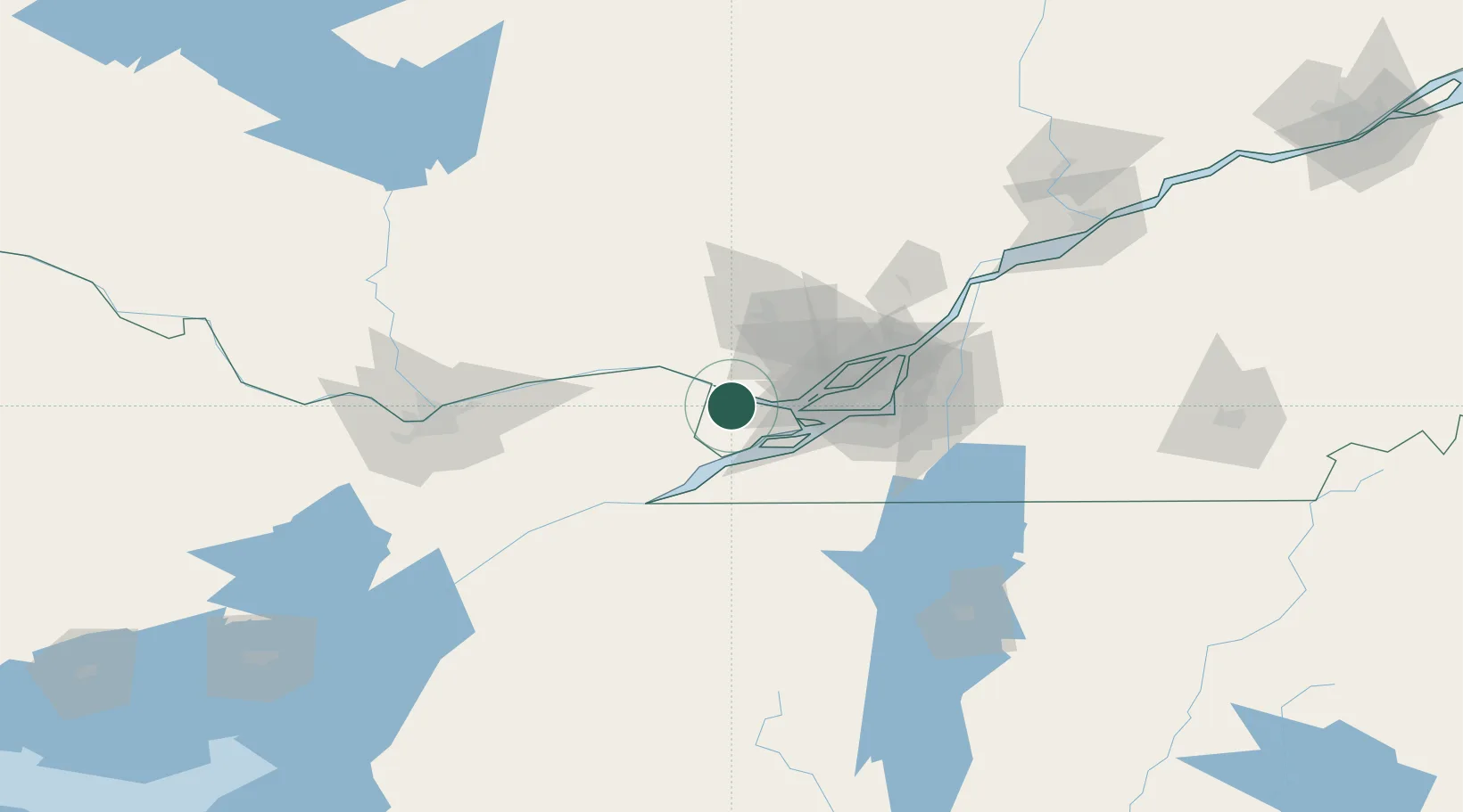
Hub Profile
Place type
Populated place
Region
Quebec
Population
3,613
Time zone
America/Toronto
Elevation
30 m
Location
Nearby Logistics Neighbours
Cities
- 1Pointe-Fortune12 km
- 2Saint-Dominique20 km
- 3Vaudreuil-Dorion22 km
- 4Saint-Joseph-du-Lac25 km
- 5Rivière-Beaudette26 km
Ports
- 1St Placide11 km
- 2St Andrews East11 km
- 3Hudson13 km
- 4Oka Sur Le Lac17 km
- 5Chute A Blondeau18 km
Airports
Trade Zones
- 1Greater Montreal Free Zone Center58 km
- 2FTZ No. 118 Ogdensburg127 km
- 3FTZ No. 109 Watertown207 km
- 4Québec City FTZ279 km
- 5FTZ No. 172 Oneida County284 km
DatabookThe Record of Consolidated Knowledge
Canada beyond logistics?