Medium airport · Canada
Montréal / Saint-Hubert Metropolitan AirportCYHU
45.5175°, -73.4169°
7,840 ft
Longest runway
3
Runways
90 ft
Elevation
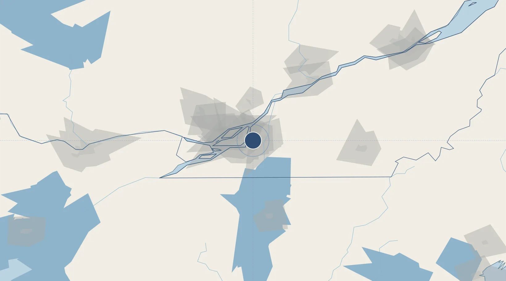
Runway & Layout

Radio Frequencies
ATIS
124.9 MHz
TWR
118.4 MHz
GND
126.4 MHz
A/G
118.4 MHz
MF
CNTR
125.15 MHz
MONTREAL CNTR
INFO
134.15 MHz
VFR ADVSY
RDO
118.4 MHz
QUEBEC RDO
Navaids
ZHU NDB Hauts-Bois 407 kHz
Runways · 3
| Runway | Dimensions | Surface | True heading | Lit |
|---|---|---|---|---|
| 06L/24R | 7,840 × 150ft | Asphalt | 047° | ✓ |
| 06R/24L | 3,920 × 100ft | Asphalt | 047° | ✓ |
| 10/28 | 2,800 × 150ft | Asphalt | 084° | ✓ |
Airport Specifications
IATA code
YHU
ICAO code
CYHU
Airport class
Medium airport
Scheduled service
Yes
Runway surface
Asphalt
Served city
Montréal
Location
Nearby Logistics Neighbours
Airports
Cities
- 1Saint-Hubert2 km
- 2Longueuil6 km
- 3Saint-Lambert8 km
- 4Longue-Pointe11 km
- 5Montréal-Est14 km
Ports
- 1Montreal10 km
- 2Beauharnois43 km
- 3Contrecour44 km
- 4Vaudreuil50 km
- 5Oka Sur Le Lac52 km
Trade Zones
- 1Greater Montreal Free Zone Center11 km
- 2FTZ No. 118 Ogdensburg187 km
- 3Québec City FTZ221 km
- 4FTZ No. 109 Watertown259 km
- 5FTZ No. 263 Auburn298 km
DatabookThe Record of Consolidated Knowledge
Canada beyond logistics?