UN/LOCODE hub · Canada
CASJL
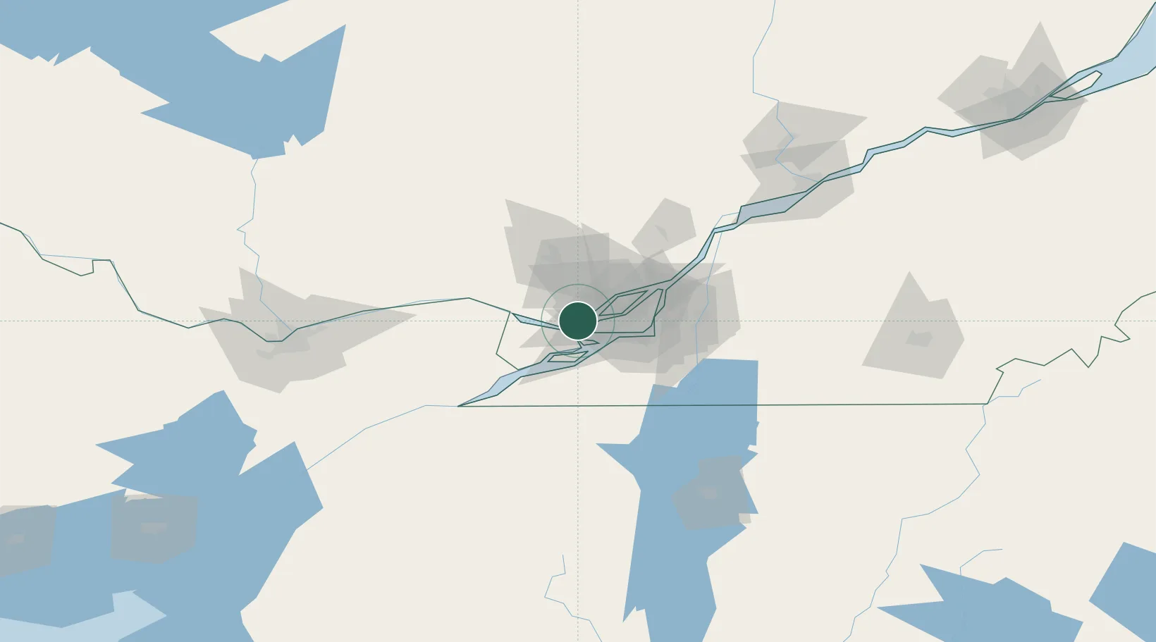
Saint-Joseph-du-Lac
45.5167°, -73.9833°
6,195
Population
1
Transport functions
Transport Functions
Rail
Hub Profile
Place type
Populated place
Region
Quebec
Population
6,195
Time zone
America/Toronto
Elevation
63 m
Location
Nearby Logistics Neighbours
Cities
- 1Saint-Eustache9 km
- 2Sainte-Geneviève11 km
- 3Vaudreuil-Dorion14 km
- 4Pointe-Claire14 km
- 5Sainte-Thérèse17 km
Ports
- 1Oka Sur Le Lac10 km
- 2Hudson13 km
- 3Vaudreuil14 km
- 4St Placide17 km
- 5Beauharnois24 km
Airports
Trade Zones
- 1Greater Montreal Free Zone Center33 km
- 2FTZ No. 118 Ogdensburg150 km
- 3FTZ No. 109 Watertown228 km
- 4Québec City FTZ256 km
- 5FTZ No. 172 Oneida County301 km
DatabookThe Record of Consolidated Knowledge
Canada beyond logistics?