Transport Functions
Rail
Road
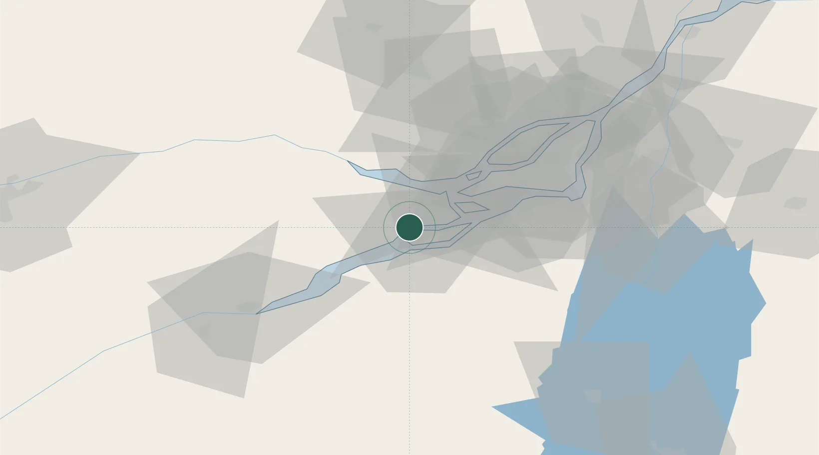
Hub Profile
Place type
Populated place
Region
Quebec
Time zone
America/Toronto
Elevation
74 m
Location
Nearby Logistics Neighbours
Cities
- 1Salaberry-de-Valleyfield8 km
- 2Valleyfield8 km
- 3L'Île-des-Soeurs (Nuns Island)9 km
- 4Saint-Zotique12 km
- 5Vaudreuil-Dorion13 km
Ports
- 1Coteau Landing8 km
- 2St Zotique11 km
- 3Vaudreuil13 km
- 4Hudson17 km
- 5Oka Sur Le Lac18 km
Airports
Trade Zones
- 1Greater Montreal Free Zone Center51 km
- 2FTZ No. 118 Ogdensburg126 km
- 3FTZ No. 109 Watertown202 km
- 4FTZ No. 172 Oneida County276 km
- 5Québec City FTZ280 km
DatabookThe Record of Consolidated Knowledge
Canada beyond logistics?