UN/LOCODE hub · Canada
CASEU
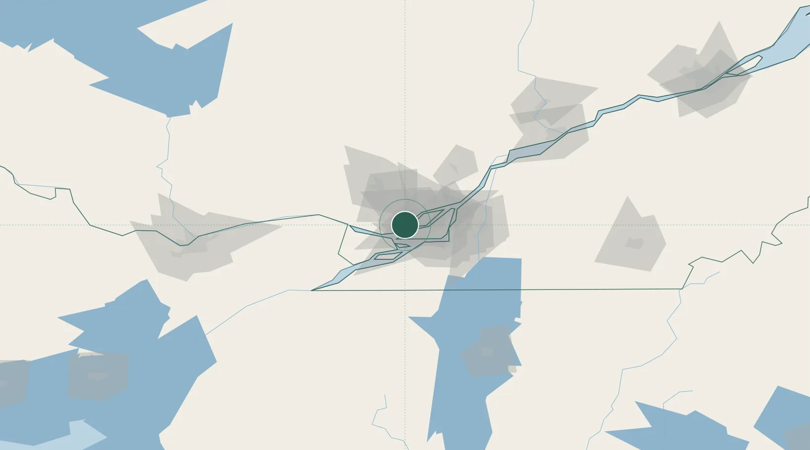
Saint-Eustache
45.5667°, -73.9000°
42,062
Population
3
Transport functions
Transport Functions
Port
Rail
Road
Hub Profile
Place type
Populated place
Region
Quebec
Population
42,062
Time zone
America/Toronto
Elevation
42 m
Location
Nearby Logistics Neighbours
Cities
- 1Sainte-Thérèse8 km
- 2Saint-Joseph-du-Lac9 km
- 3Sainte-Geneviève10 km
- 4Pointe-Claire12 km
- 5Saint-Laurent14 km
Ports
- 1Oka Sur Le Lac18 km
- 2Vaudreuil21 km
- 3Hudson21 km
- 4St Placide24 km
- 5Montreal28 km
Airports
Trade Zones
- 1Greater Montreal Free Zone Center27 km
- 2FTZ No. 118 Ogdensburg158 km
- 3FTZ No. 109 Watertown236 km
- 4Québec City FTZ247 km
- 5FTZ No. 172 Oneida County310 km
DatabookThe Record of Consolidated Knowledge
Canada beyond logistics?