UN/LOCODE hub · Canada
CADON
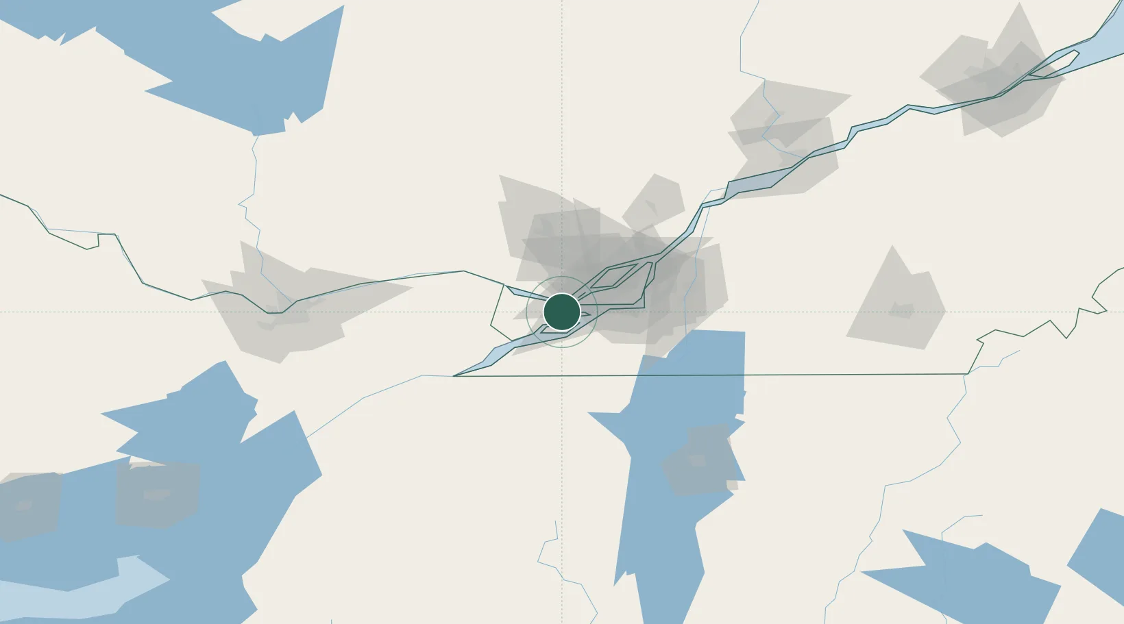
Vaudreuil-Dorion
45.4000°, -74.0333°
25,789
Population
2
Transport functions
Transport Functions
Rail
Road
Hub Profile
Place type
Populated place
Region
Quebec
Population
25,789
Time zone
America/Toronto
Elevation
22 m
Location
Nearby Logistics Neighbours
Cities
- 1L'Île-des-Soeurs (Nuns Island)11 km
- 2Saint-Dominique13 km
- 3Saint-Joseph-du-Lac14 km
- 4Sainte-Geneviève17 km
- 5Salaberry-de-Valleyfield18 km
Ports
- 1Oka Sur Le Lac8 km
- 2Hudson11 km
- 3Beauharnois15 km
- 4St Placide20 km
- 5Coteau Landing21 km
Airports
Trade Zones
- 1Greater Montreal Free Zone Center39 km
- 2FTZ No. 118 Ogdensburg139 km
- 3FTZ No. 109 Watertown215 km
- 4Québec City FTZ267 km
- 5FTZ No. 172 Oneida County289 km
DatabookThe Record of Consolidated Knowledge
Canada beyond logistics?