Seaport · Canada

St Andrews EastCASAE

45.5667°, -74.3333°
1.8 m
Channel depth

Channel & Berth Profile

SEA LEVEL (CD)CHANNEL BEDChannel · 1.8 mAnchorage · 1.8 mCargo pier · 1.8 m
NGA World Port Index

Facilities & Capabilities

Container
Ro-Ro
Liquid bulk
Dry bulk
Oil terminal
Break bulk
Dry dock
Repairs
Bunkering
Rail linkYES
Dangerous cargo
ISPS security
NGA World Port Index

Harbour Specifications

Harbour size
Very Small
NGA World Port Index
Harbour type
River (Natural)
NGA World Port Index
Shelter
Excellent
NGA World Port Index
Water body
Lake Ontario; Great Lakes
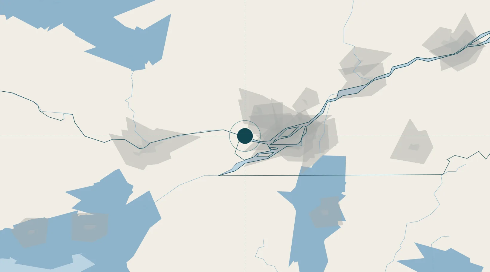
NGA World Port Index

Location

Location of CASAE
Natural Earth 10m (public domain) · Québec · CASAE · 45.57, -74.33GoogleOSMYandex

Nearby Logistics Neighbours

Ports
  1. 1Chute A Blondeau11 km
  2. 2St Placide11 km
  3. 3Hudson19 km
  4. 4Grenville22 km
  5. 5Oka Sur Le Lac22 km
Nearest neighbours — logibook spatial index (haversine) over the source coordinates
Cities
  1. 1Pointe-Fortune3 km
  2. 2Rigaud11 km
  3. 3Saint-Joseph-du-Lac28 km
  4. 4Vaudreuil-Dorion30 km
  5. 5Saint-Dominique31 km
Nearest neighbours — logibook spatial index (haversine) over the source coordinates
Trade Zones
  1. 1Greater Montreal Free Zone Center60 km
  2. 2FTZ No. 118 Ogdensburg133 km
  3. 3FTZ No. 109 Watertown215 km
  4. 4Québec City FTZ276 km
  5. 5FTZ No. 172 Oneida County292 km
Nearest neighbours — logibook spatial index (haversine) over the source coordinates
DatabookThe Record of Consolidated Knowledge
Canada beyond logistics?
Browse databook

All Sources

Portsthe NGA World Port Index
Public domain (US gov)
AirportsOurAirports
Public domain
LocationsUN/LOCODE
UN/LOCODE — free
Trade Zonesthe World Bank SEZ database
CC BY 4.0
Trade ZonesOpen Zone Map
CC BY
← Canada ports