Seaport · Canada

Chute A BlondeauCACAB

45.5833°, -74.4667°
1.8 m
Channel depth

Channel & Berth Profile

SEA LEVEL (CD)CHANNEL BEDChannel · 1.8 mAnchorage · 1.8 mCargo pier · 1.8 m
NGA World Port Index

Facilities & Capabilities

Container
Ro-Ro
Liquid bulk
Dry bulk
Oil terminal
Break bulk
Dry dock
Repairs
Bunkering
Rail link
Dangerous cargo
ISPS security
NGA World Port Index

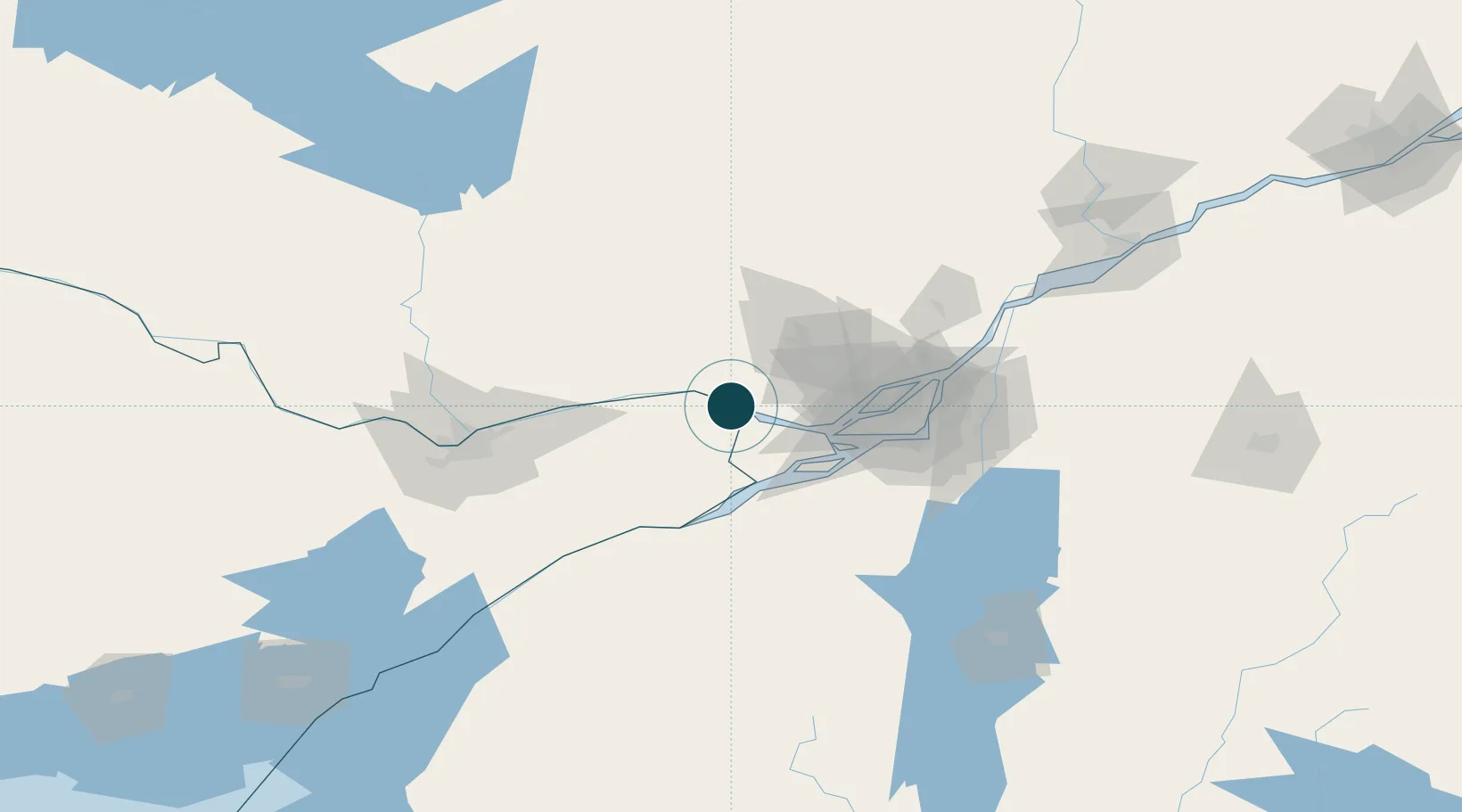
Harbour Specifications

Harbour size
Very Small
NGA World Port Index
Harbour type
River (Natural)
NGA World Port Index
Shelter
Excellent
NGA World Port Index
Water body
Lake Ontario; Great Lakes
NGA World Port Index
Overhead limit
Yes
NGA World Port Index

Location

Location of CACAB
Natural Earth 10m (public domain) · Ontario · CACAB · 45.58, -74.47GoogleOSMYandex

Nearby Logistics Neighbours

Ports
  1. 1St Andrews East11 km
  2. 2Grenville12 km
  3. 3Hawkesbury12 km
  4. 4St Placide22 km
  5. 5Hudson29 km
Nearest neighbours — logibook spatial index (haversine) over the source coordinates
Cities
  1. 1Pointe-Fortune8 km
  2. 2Rigaud18 km
  3. 3Alfred31 km
  4. 4Montebello37 km
  5. 5Saint-Joseph-du-Lac38 km
Nearest neighbours — logibook spatial index (haversine) over the source coordinates
Trade Zones
  1. 1Greater Montreal Free Zone Center71 km
  2. 2FTZ No. 118 Ogdensburg127 km
  3. 3FTZ No. 109 Watertown210 km
  4. 4Québec City FTZ283 km
  5. 5FTZ No. 090 Onondaga289 km
Nearest neighbours — logibook spatial index (haversine) over the source coordinates
DatabookThe Record of Consolidated Knowledge
Canada beyond logistics?
Browse databook

All Sources

Portsthe NGA World Port Index
Public domain (US gov)
AirportsOurAirports
Public domain
LocationsUN/LOCODE
UN/LOCODE — free
Trade Zonesthe World Bank SEZ database
CC BY 4.0
Trade ZonesOpen Zone Map
CC BY
← Canada ports