Medium airport · Canada
Montreal Mirabel International AirportCYMX
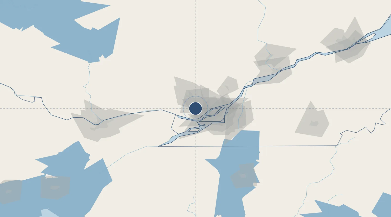
45.6795°, -74.0387°
12,000 ft
Longest runway
2
Runways
270 ft
Elevation
Runway & Layout

Radio Frequencies
ATIS
125.7 MHz
ATIS (English) 450-476-3031
ATIS
126.1 MHz
ATIS (French) 450-476-3095
DEP
132.85 MHz
Montreal Departure
ARR
124.65 MHz
Montreal Arrival
ARR
132.85 MHz
Montreal Arrival
ARR
268.3 MHz
Montreal Arrival
MF
119.1 MHz
Mirabel Radio
RDR
134.15 MHz
VFR ADVSY
RMP
122.4 MHz
APRON ADVSY
Navaids
YMX VOR-DME Mirabel 116.70 MHz
ZMM NDB Joly 266 kHz
ZMR NDB Hermas 272 kHz
ZMX NDB Janvier 317 kHz
Runways · 2
| Runway | Dimensions | Surface | True heading | Lit |
|---|---|---|---|---|
| 06/24 | 12,000 × 200ft | Concrete | 045° | ✓ |
| 11/29 | 8,852 × 200ft | Concrete | 098° | — |
Airport Specifications
IATA code
YMX
ICAO code
CYMX
Airport class
Medium airport
Scheduled service
Yes
Runway surface
Concrete
Served city
Montréal
Location
Nearby Logistics Neighbours
Airports
Cities
- 1Saint-Antoine-des-Laurentides10 km
- 2Saint-Janvier10 km
- 3Sainte-Thérèse16 km
- 4Saint-Eustache17 km
- 5Saint-Joseph-du-Lac19 km
Ports
- 1St Placide21 km
- 2Oka Sur Le Lac24 km
- 3Hudson25 km
- 4St Andrews East26 km
- 5Vaudreuil31 km
Trade Zones
- 1Greater Montreal Free Zone Center42 km
- 2FTZ No. 118 Ogdensburg158 km
- 3FTZ No. 109 Watertown239 km
- 4Québec City FTZ249 km
- 5FTZ No. 172 Oneida County315 km
DatabookThe Record of Consolidated Knowledge
Canada beyond logistics?