Seaport · Canada

HawkesburyCAHAW

45.6167°, -74.6167°
1.8 m
Channel depth

Channel & Berth Profile

SEA LEVEL (CD)CHANNEL BEDChannel · 1.8 mAnchorage · 1.8 mCargo pier · 1.8 m
NGA World Port Index

Facilities & Capabilities

Container
Ro-Ro
Liquid bulk
Dry bulk
Oil terminal
Break bulk
Dry dock
Repairs
Bunkering
Rail link
Dangerous cargo
ISPS security
NGA World Port Index

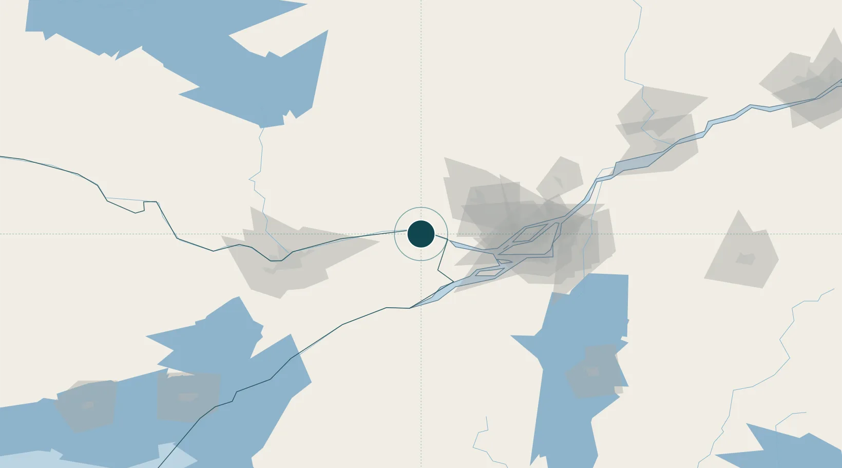
Harbour Specifications

Harbour size
Very Small
NGA World Port Index
Harbour type
River (Natural)
NGA World Port Index
Shelter
Excellent
NGA World Port Index
Water body
Lake Ontario; Great Lakes
NGA World Port Index

Location

Location of CAHAW
Natural Earth 10m (public domain) · Ontario · CAHAW · 45.62, -74.62GoogleOSMYandex

Nearby Logistics Neighbours

Ports
  1. 1Grenville2 km
  2. 2Chute A Blondeau12 km
  3. 3Fassett20 km
  4. 4St Andrews East23 km
  5. 5Montebello25 km
Nearest neighbours — logibook spatial index (haversine) over the source coordinates
Cities
  1. 1Pointe-Fortune20 km
  2. 2Alfred21 km
  3. 3Montebello25 km
  4. 4Rigaud30 km
  5. 5Plantagenet31 km
Nearest neighbours — logibook spatial index (haversine) over the source coordinates
Trade Zones
  1. 1Greater Montreal Free Zone Center83 km
  2. 2FTZ No. 118 Ogdensburg123 km
  3. 3FTZ No. 109 Watertown207 km
  4. 4FTZ No. 090 Onondaga285 km
  5. 5FTZ No. 172 Oneida County288 km
Nearest neighbours — logibook spatial index (haversine) over the source coordinates
DatabookThe Record of Consolidated Knowledge
Canada beyond logistics?
Browse databook

All Sources

Portsthe NGA World Port Index
Public domain (US gov)
AirportsOurAirports
Public domain
LocationsUN/LOCODE
UN/LOCODE — free
Trade Zonesthe World Bank SEZ database
CC BY 4.0
Trade ZonesOpen Zone Map
CC BY
← Canada ports