UN/LOCODE hub · United States
USTKT
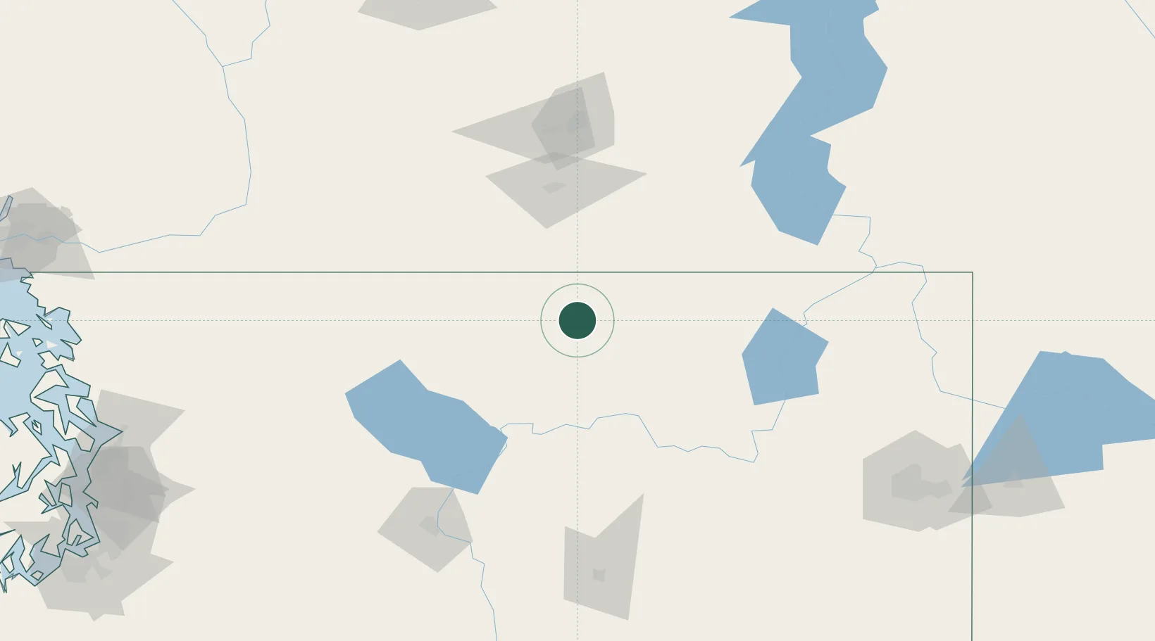
Tonasket
48.7000°, -119.4333°
1,016
Population
3
Transport functions
Transport Functions
Rail
Road
Multimodal
Hub Profile
Place type
Populated place
Region
Washington
Population
1,016
Time zone
America/Los_Angeles
Elevation
280 m
Location
Nearby Logistics Neighbours
Cities
- 1Osoyoos37 km
- 2Bridesville42 km
- 3Republic52 km
- 4Oliver53 km
- 5Cawston59 km
Ports
- 1Mission City212 km
- 2Everett220 km
- 3Bellingham225 km
- 4Mukilteo228 km
- 5Anacortes235 km
Airports
- 1Grand Forks Airport81 km
- 2Penticton Airport86 km
- 3Trail Regional Airport139 km
- 4Kelowna International Airport140 km
- 5Castlegar/West Kootenay Regional Airport147 km
Trade Zones
- 1FTZ No. 203 Moses Lake175 km
- 2FTZ No. 224 Spokane184 km
- 3FTZ No. 242 Boundary County192 km
- 4FTZ No. 085 Everett220 km
- 5FTZ No. 129 Bellingham227 km
DatabookThe Record of Consolidated Knowledge
United States beyond logistics?