Transport Functions
Rail
Road
Hub Profile
Place type
Populated place
Region
New Brunswick
Population
8,805
Time zone
America/Moncton
Elevation
27 m
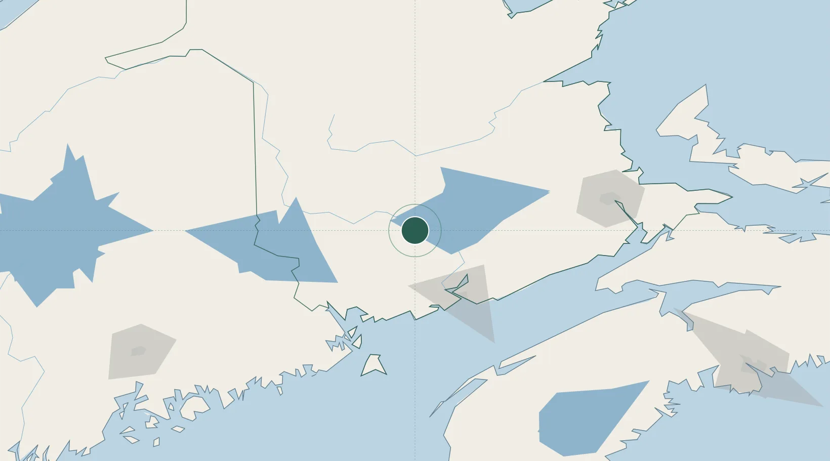
Location
Nearby Logistics Neighbours
Cities
- 1Quispamsis16 km
- 2Fredericton20 km
- 3Jemseg27 km
- 4Minto41 km
- 5Harvey Station45 km
Ports
- 1St John70 km
- 2Canaport (St. John)79 km
- 3Port Bayside Nb93 km
- 4Eastport112 km
- 5Lubec115 km
Airports
Trade Zones
- 1Saint John69 km
- 2FTZ No. 179 Madawaska216 km
- 3FTZ No. 058 Bangor217 km
- 4Halifax Gateway260 km
- 5FTZ No. 186 Waterville292 km
DatabookThe Record of Consolidated Knowledge
Canada beyond logistics?